Itaewon: Seoul's First Special Tourism Zone Was Built Facing a Base That Has Left

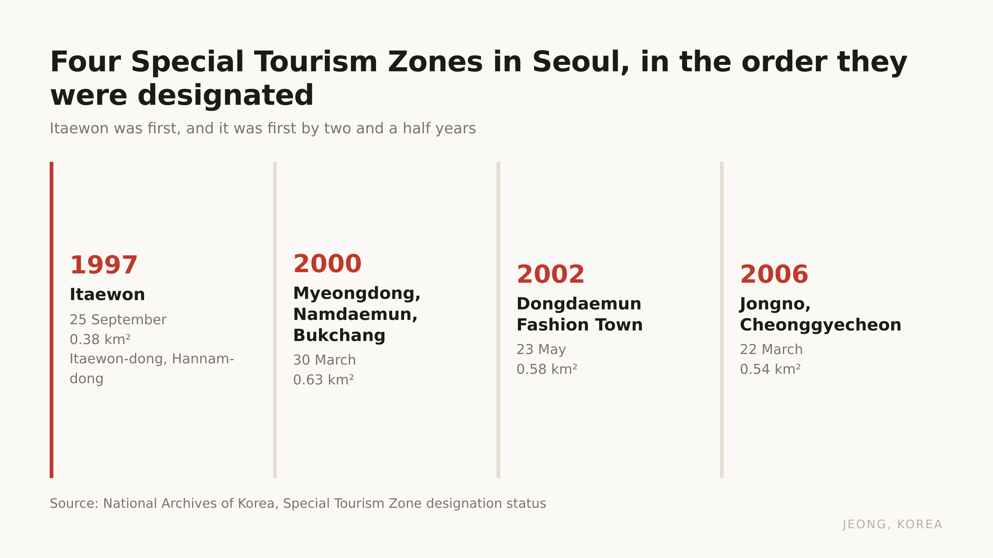
Itaewon became a Special Tourism Zone on 25 September 1997. Myeongdong did not get that status until 2000. Dongdaemun waited until 2002.
So the neighbourhood most guides file under "the foreigner place, go there if you miss home food" is the one Korea decided to treat as a destination before any of the shopping streets. That is not an accident of taste. It is a consequence of what stood across the road for most of a century, and that thing is no longer there.
The designation date tells you what Itaewon used to be
The zone covers Itaewon-dong and Hannam-dong, and it is small. 0.38 square kilometres, which is the smallest of the four Seoul zones.
It came first because it was already doing the job. A Special Tourism Zone is a designation for an area that is set up to receive foreign visitors, and by 1997 Itaewon had spent decades doing exactly that for one particular group of foreigners. The shops took dollars. The tailors knew American sizes. The signs were in English before anywhere else in Seoul bothered.
The other zones were designated later because they had to grow into it. Itaewon did not have to.
| Seoul zone | Designated | Area |
|---|---|---|
| Itaewon | 25 September 1997 | 0.38 km² |
| Myeongdong, Namdaemun, Bukchang | 30 March 2000 | 0.63 km² |
| Dongdaemun Fashion Town | 23 May 2002 | 0.58 km² |
| Jongno, Cheonggyecheon | 22 March 2006 | 0.54 km² |
If you want to see what a zone looks like when it was built for shopping rather than for a garrison, Myeongdong is three layers and the street carts are licensed one year at a time covers the other end of that scale.
So what was across the road?
The base it faced has moved to Pyeongtaek
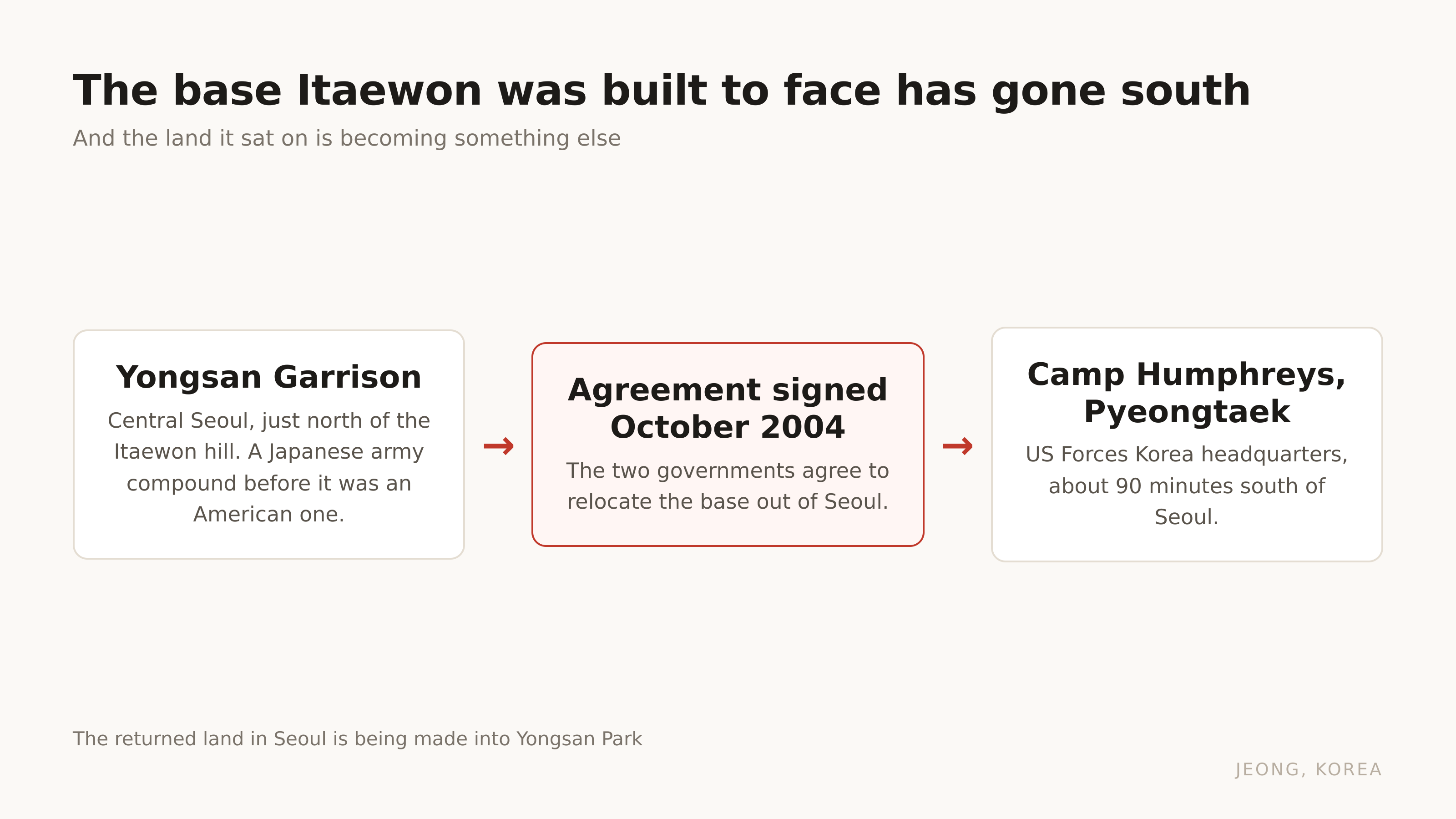
Yongsan Garrison. It sat on the flat land immediately north of the Itaewon hill, and before the US Army it was a Japanese army compound. Roughly a century of the same piece of ground being off limits to the city around it.
In October 2004 the two governments signed the agreement to move it. United States Forces Korea headquarters is now at Camp Humphreys in Pyeongtaek, about an hour and a half south of Seoul.
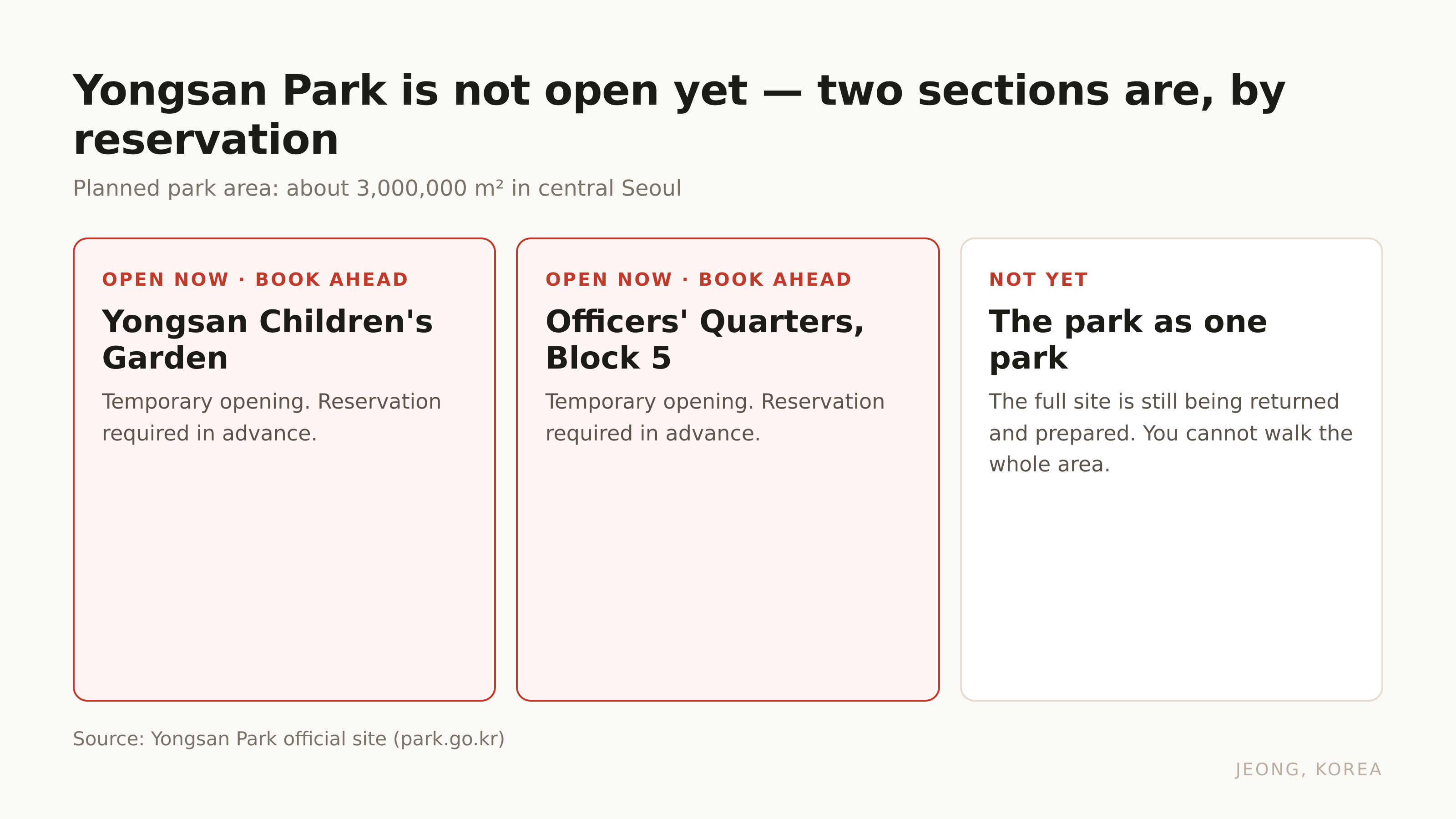
What is happening to the land is the part visitors do not expect. It is becoming a park, and the planned area is about 3 million square metres. For scale, that is a piece of central Seoul larger than most people's mental image of a city park, sitting between Itaewon and the river.
It is not open yet, not as one park. Two sections are open on a temporary basis and both need a reservation: Yongsan Children's Garden, and the old officers' quarters complex known as Block 5. You book ahead. You do not walk in.
So the honest version for a visitor in 2026 is this. The wall that made Itaewon what it is has come down, the space behind it is not finished, and the neighbourhood is currently living through the gap between those two facts.
If the base defined it, what kept the neighbourhood international after the base left?
The mosque was there first, and it is still the anchor
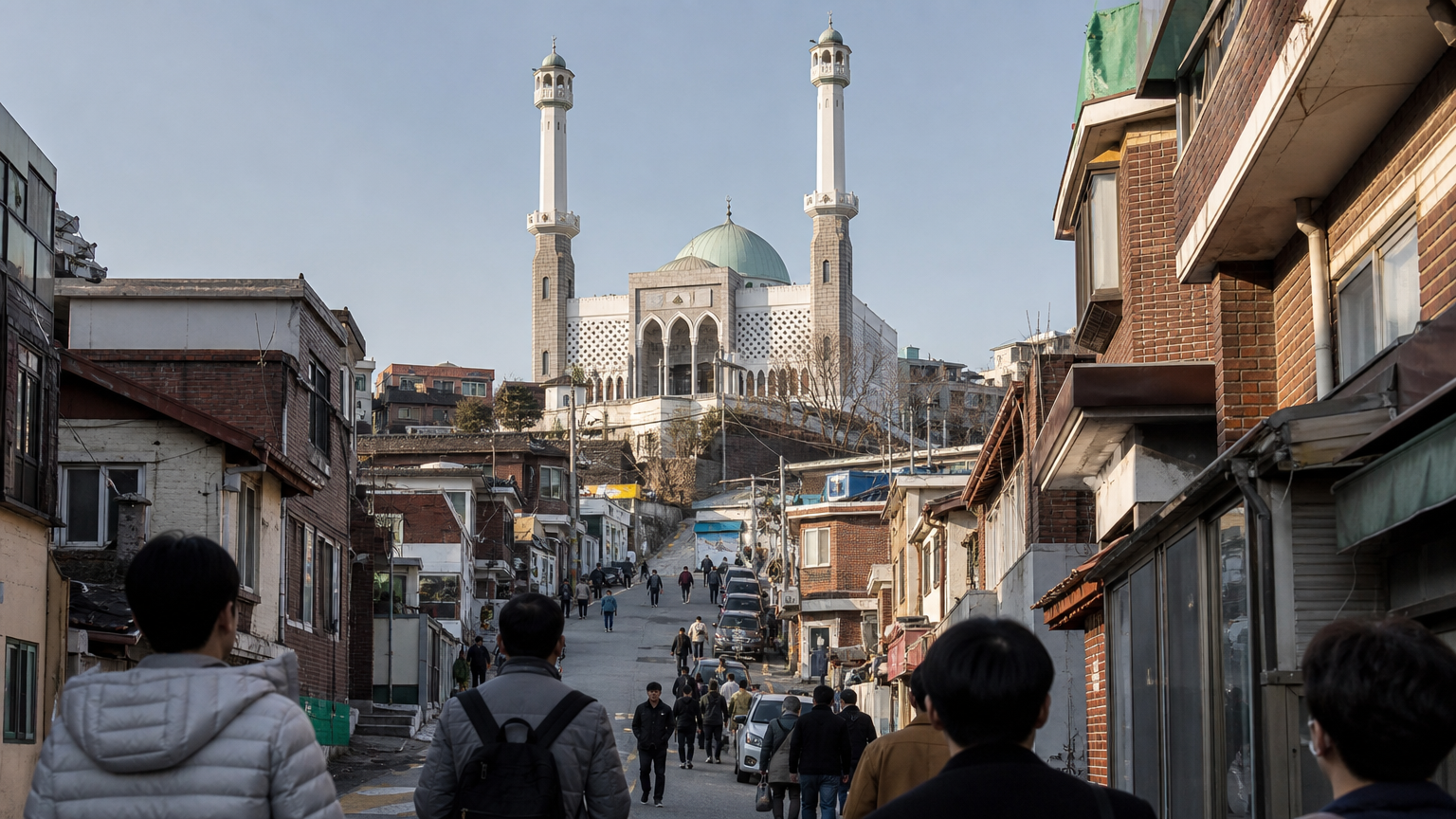
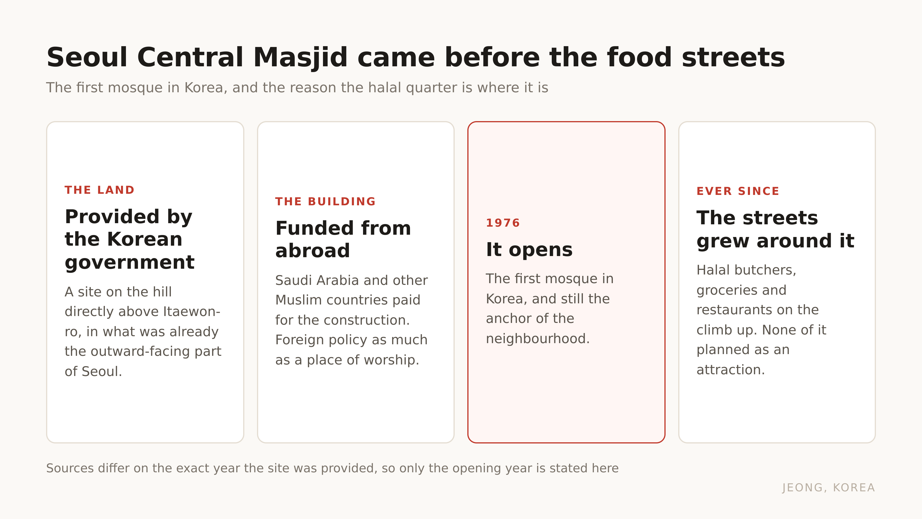
Seoul Central Masjid opened in 1976, on the hill above the main road. It was the first mosque in Korea.
The way it got built says something about the period. The Korean government provided the land. Saudi Arabia and other Muslim countries paid for the building. It was a piece of foreign policy as much as a place of worship, and it landed on this particular hill because this was already the part of Seoul that faced outward.
That single decision is why the streets climbing up to it are what they are now. Halal butchers, Turkish and Uzbek and Pakistani restaurants, grocery shops carrying things you cannot buy anywhere else in the city. None of that was planned as a tourist attraction. It grew because a congregation needed to eat near where it prayed, and it stayed after the soldiers left because it was never about the soldiers.
If eating here is the reason you are coming, the labels on halal food in Seoul do not tell you what you think they do is worth reading before you pick a restaurant. There are three different things a sign can mean.
Fine. Where do you actually go when you get off the train?
It is not one street. It is three hills, and they are different evenings
This is the practical part, and it is the thing that decides whether you enjoy the day.
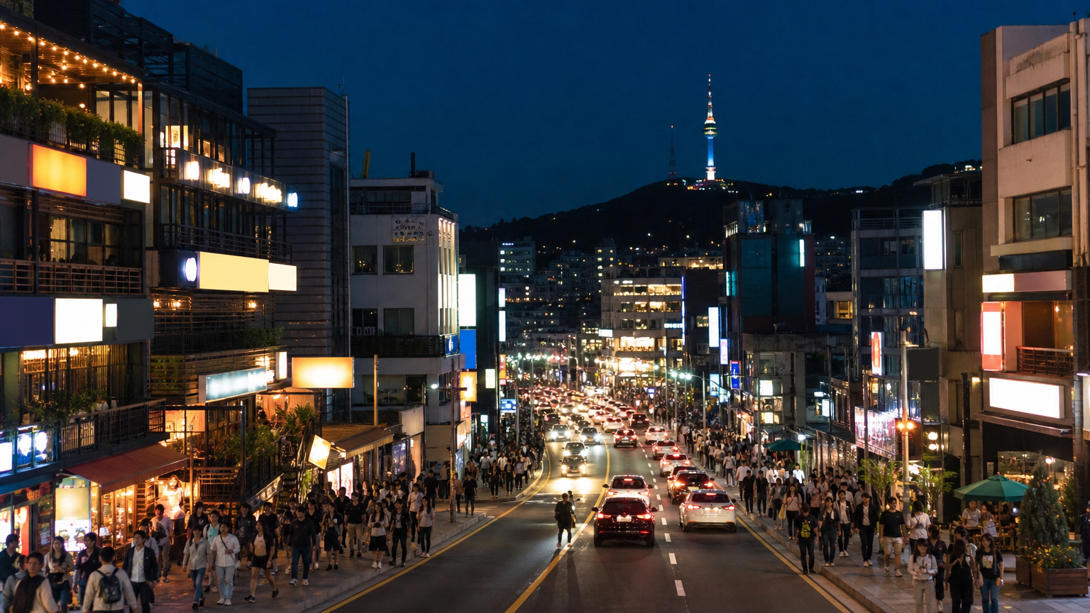
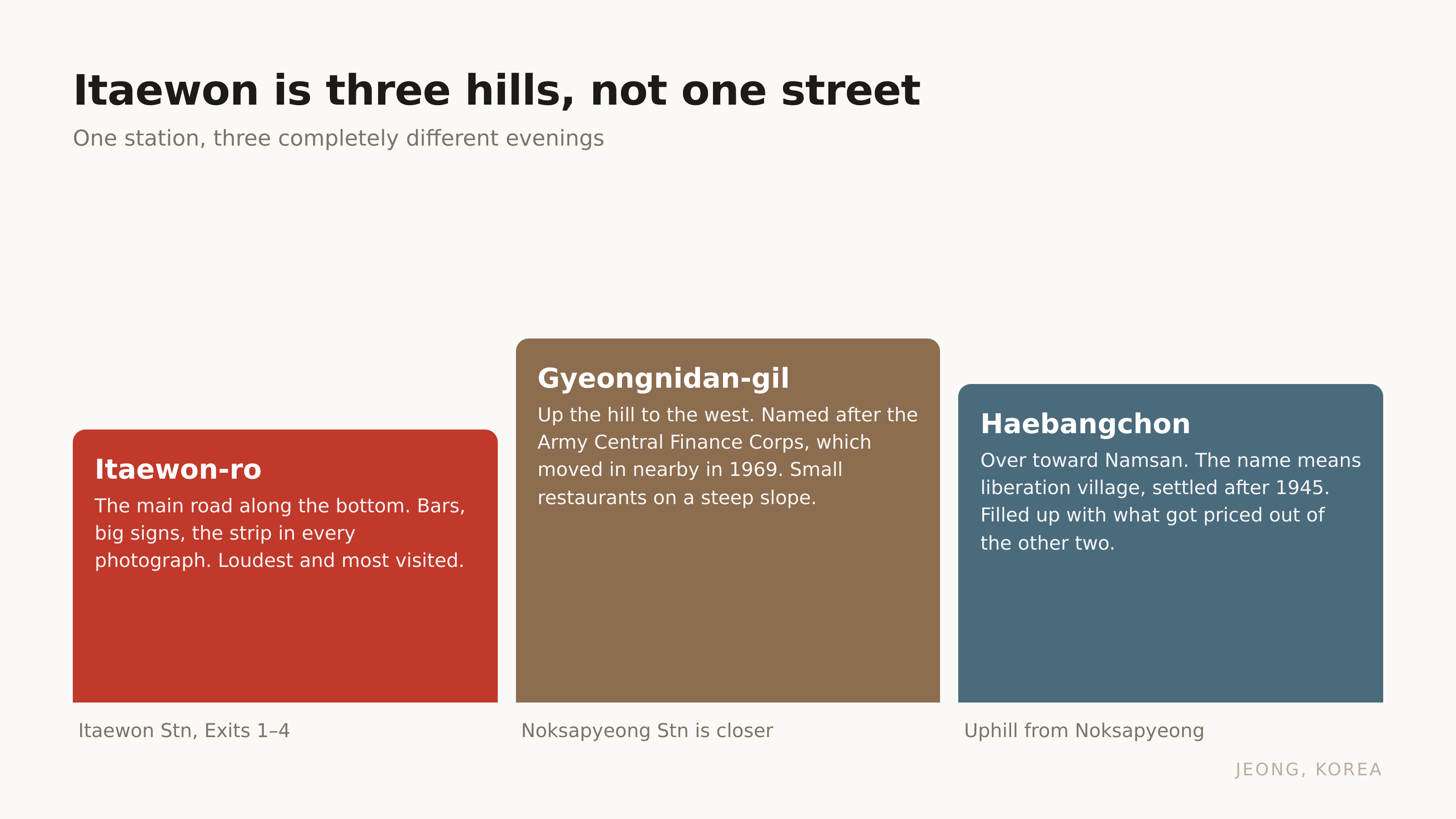
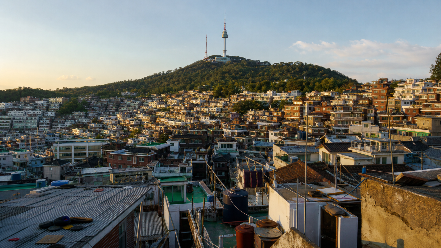
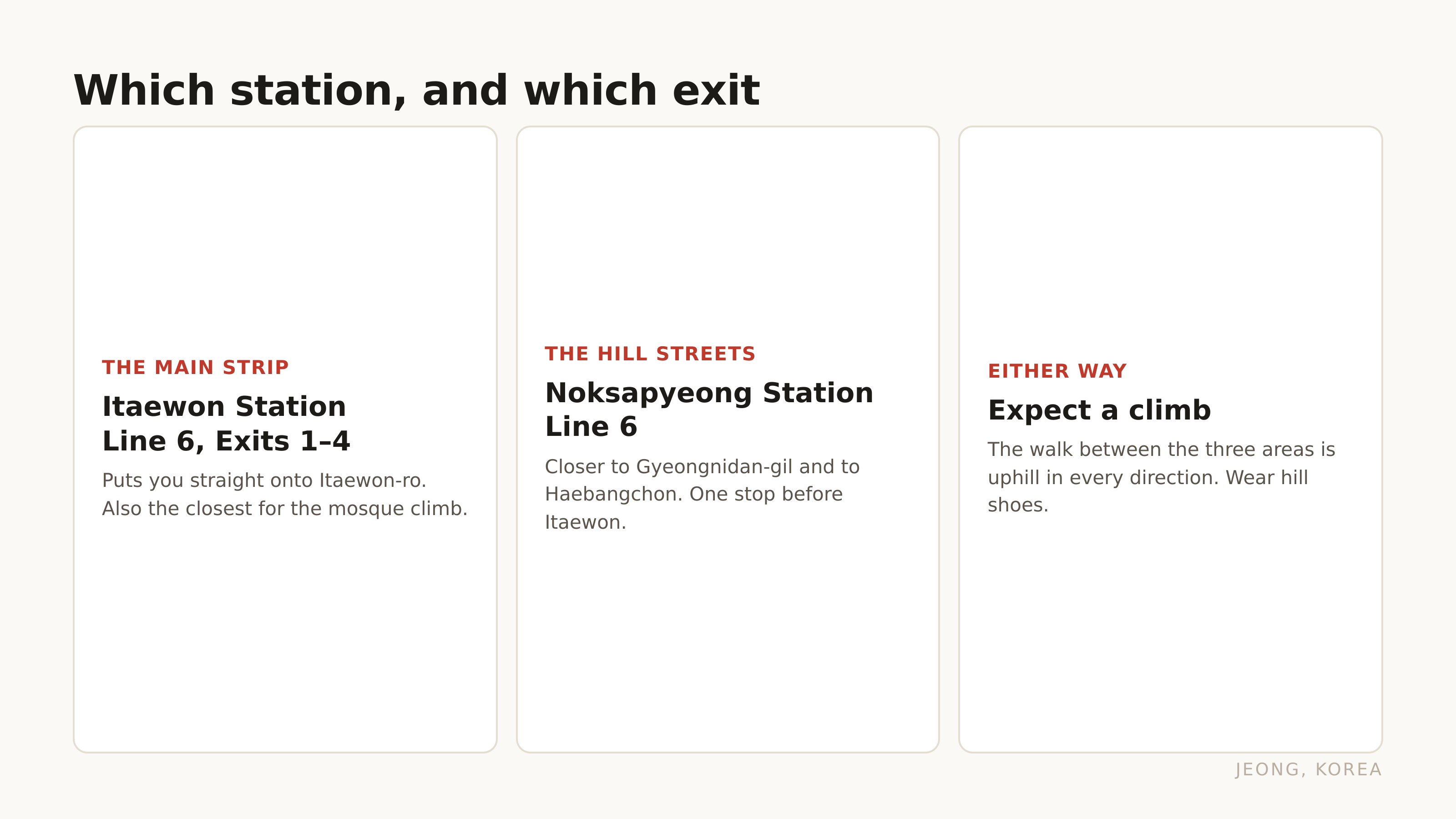
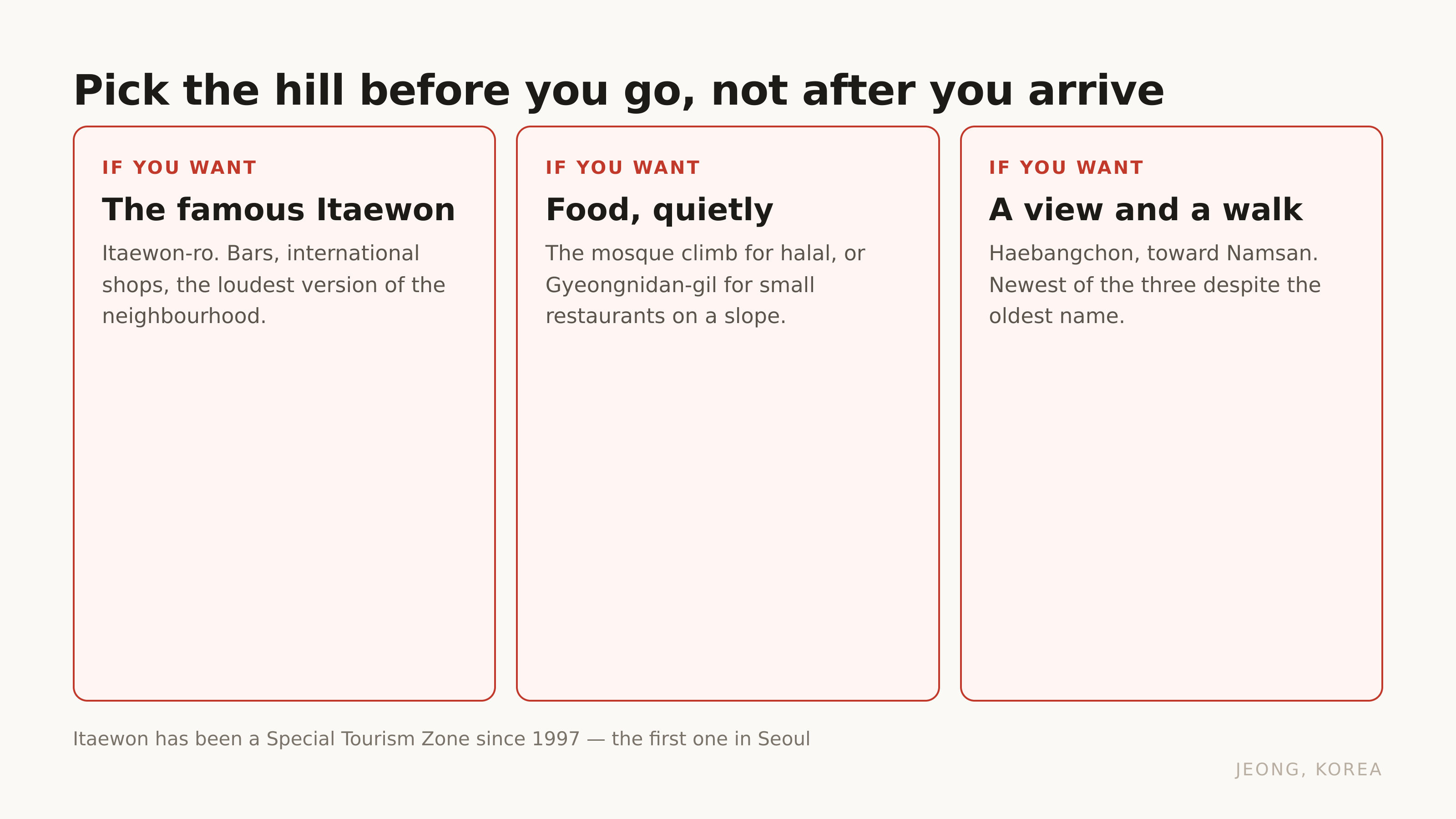
Itaewon-ro is the main road, running along the bottom. Exit 1 to 4 of Itaewon Station. This is the strip in the photographs: the bars, the big signs, the shops selling things in sizes Korean chains do not stock. It is also the loudest and the most visited, and if you only see this you will come away thinking Itaewon is a nightlife street and nothing else.
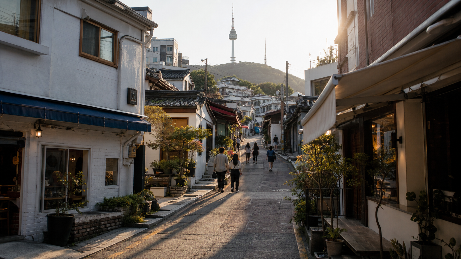
Gyeongnidan-gil climbs the hill to the west. The name is not poetic. It comes from the Army Central Finance Corps, which moved in nearby in 1969 and is now the Armed Forces Financial Management Corps. The street is named after an accounting office. What is there now is small restaurants and cafés on a genuinely steep slope, built up by foreign residents who wanted somewhere quieter than the main road.
Haebangchon is over the other side, toward Namsan. The name means liberation village, and it was settled after 1945 by people who came south. In the last fifteen years it filled up with the businesses that got priced out of Itaewon-ro and Gyeongnidan-gil, which is why it feels newer than its history suggests.
Three neighbourhoods, one station, and the walk between them is uphill in every direction. Wear the shoes you would wear for a hill, not the ones you would wear for a shopping street.
Getting here is Line 6, Itaewon Station, and Line 6 is one of the lines people misread on the map because it loops. How to read the Seoul subway map, and the transfer rules nobody explains covers that.
FAQ
Which subway station is Itaewon?
Itaewon Station on Line 6. Exits 1 to 4 put you on the main road. For Gyeongnidan-gil, Noksapyeong Station on the same line is closer.
Is Itaewon still the nightlife area?
The bars are still there, but the neighbourhood no longer depends on them the way it did when the garrison was full. Daytime Itaewon, meaning the mosque area, the restaurants and the two hill streets, is now the larger part of what people come for.
Can I visit Yongsan Park?
Not as a single park yet. Two sections are open on a temporary basis, Yongsan Children's Garden and the Block 5 officers' quarters, and both require a reservation in advance.
Is Itaewon good for halal food?
It is the main area for it in Seoul, because the mosque has been there since 1976 and the food streets grew around it. Check what the individual restaurant's certification actually says before you decide.
One sentence is enough
Itaewon was the first place in Seoul the country designated for foreign visitors, it was built facing a military base that has now moved to Pyeongtaek, and it is three separate hill neighbourhoods rather than the one street in the photographs.
Next in this series, the zone that got the designation five years after Itaewon and works on a completely different clock: what changes at Dongdaemun depending on what time you arrive.
References
-
National Archives of Korea — Special Tourism Zone designation status — designation dates and areas for Itaewon, Myeongdong, Dongdaemun Fashion Town and Jongno
-
Yongsan Park official site — planned park area of about 3 million m², and the two sections currently open by reservation
-
Korea Foundation newsletter and Korean encyclopaedia entries on Seoul Central Masjid — opened 1976 as the first mosque in Korea, on land provided by the Korean government with construction funded by Saudi Arabia and other Muslim countries