Gangnam: The Station Is Split Between Two Districts, and the Plan Was Named After Yeongdeungpo

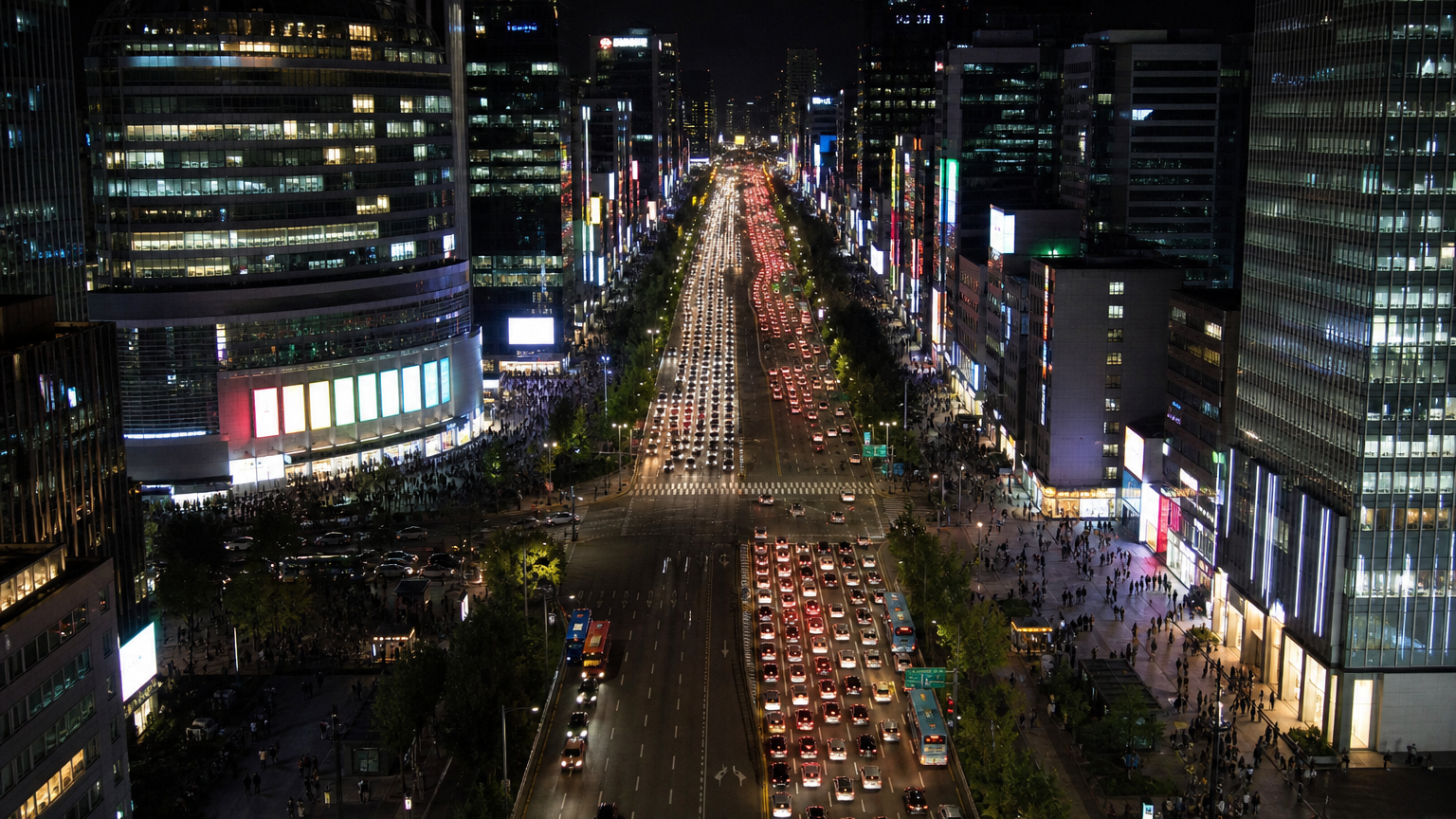
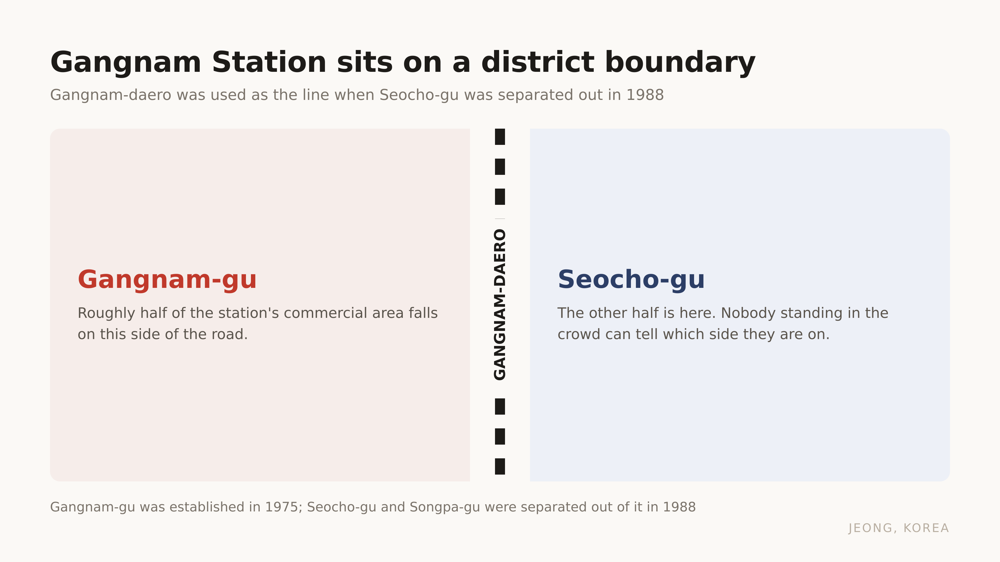
The road under Gangnam Station is a district boundary. Half the station's shopping area is in Gangnam-gu, half is in Seocho-gu. Nobody standing in the crowd can tell.
Which is a fair introduction to the place, because Gangnam is not a district. It is a direction that people started using as a name, and for most of a century there was nothing here worth naming.
What "Gangnam" actually refers to, and why nobody agrees
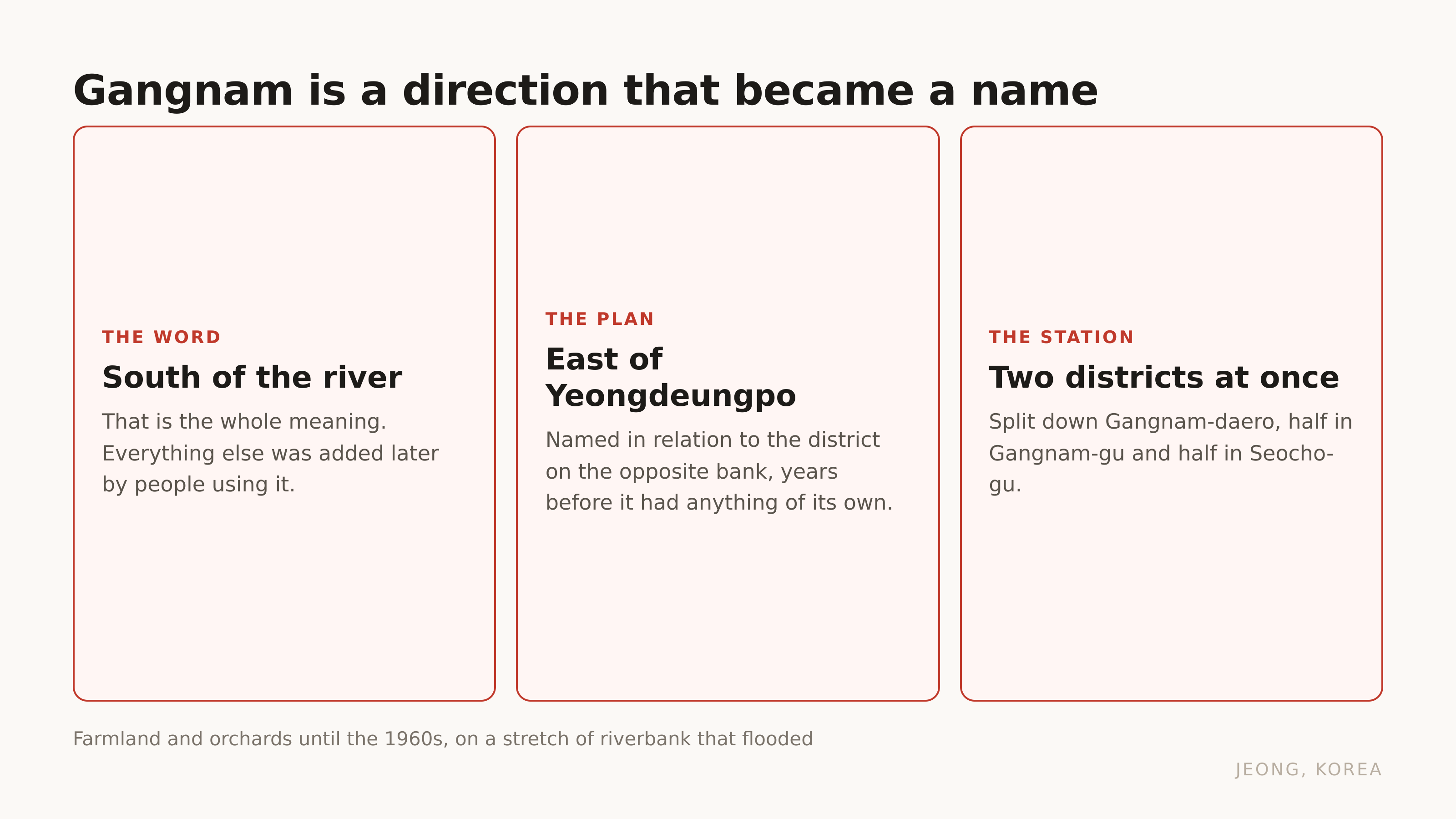
The word means south of the river. Literally that is all it means.
There is a Gangnam-gu, an administrative district, and that is a real place with a real boundary. But when a Korean says Gangnam in conversation they usually mean something looser: Gangnam-gu plus Seocho-gu plus parts of Songpa-gu, the three districts that get grouped together in property talk.
Those three were one thing once. Gangnam-gu was established in 1975, and in 1988 Seocho-gu and Songpa-gu were separated out of it. The split used Gangnam-daero as the boundary, which is the road that runs through Gangnam Station.
So the station that carries the name sits on the line, and the halves are administered by different district offices.
| Year | What happened |
|---|---|
| 1975 | Gangnam-gu established, and the name becomes official |
| 1982 | Line 2 fully opens |
| 1988 | Seocho-gu and Songpa-gu separated out of Gangnam-gu |
If you want the other half of how Seoul names itself, Myeongdong is three layers and the street carts are licensed one year at a time is a district that has been a district for as long as anyone can remember.
So if it was not a district, what was it?
Farmland, and a plan named after somewhere else
The National Archives description is plain about it. This was farmland, rows of rice paddies and orchards, on a stretch of the south bank the Han River flooded often enough to matter.
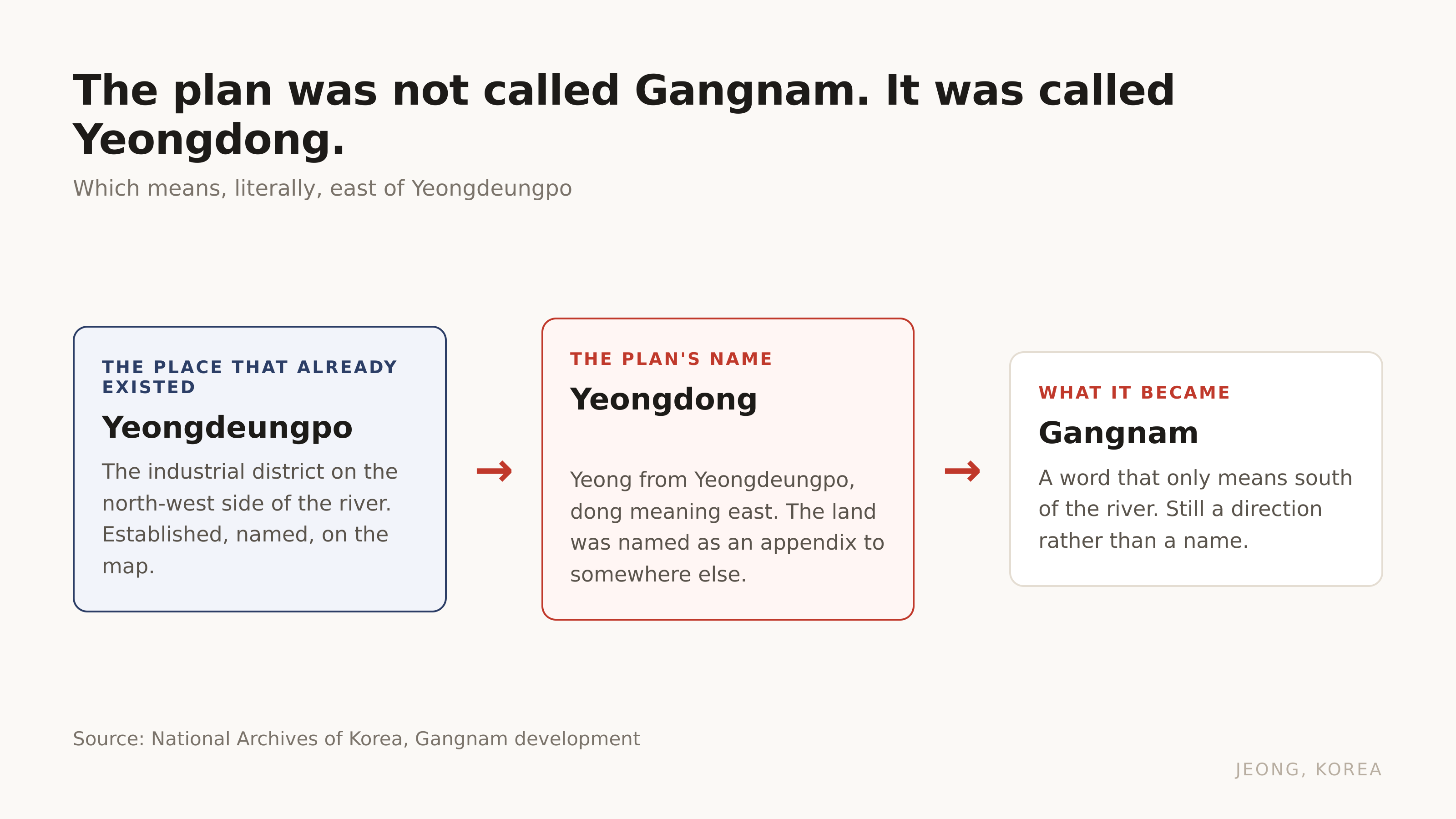
And the development plan was not called the Gangnam plan. It was called Yeongdong, which means east of Yeongdeungpo. Yeongdeungpo was the industrial district on the other side of the river, and the land that became the most expensive real estate in the country was named as an appendix to it.
That is the part I find hard to get across to visitors. This place did not rise. It was described, for years, purely in relation to somewhere that already existed.
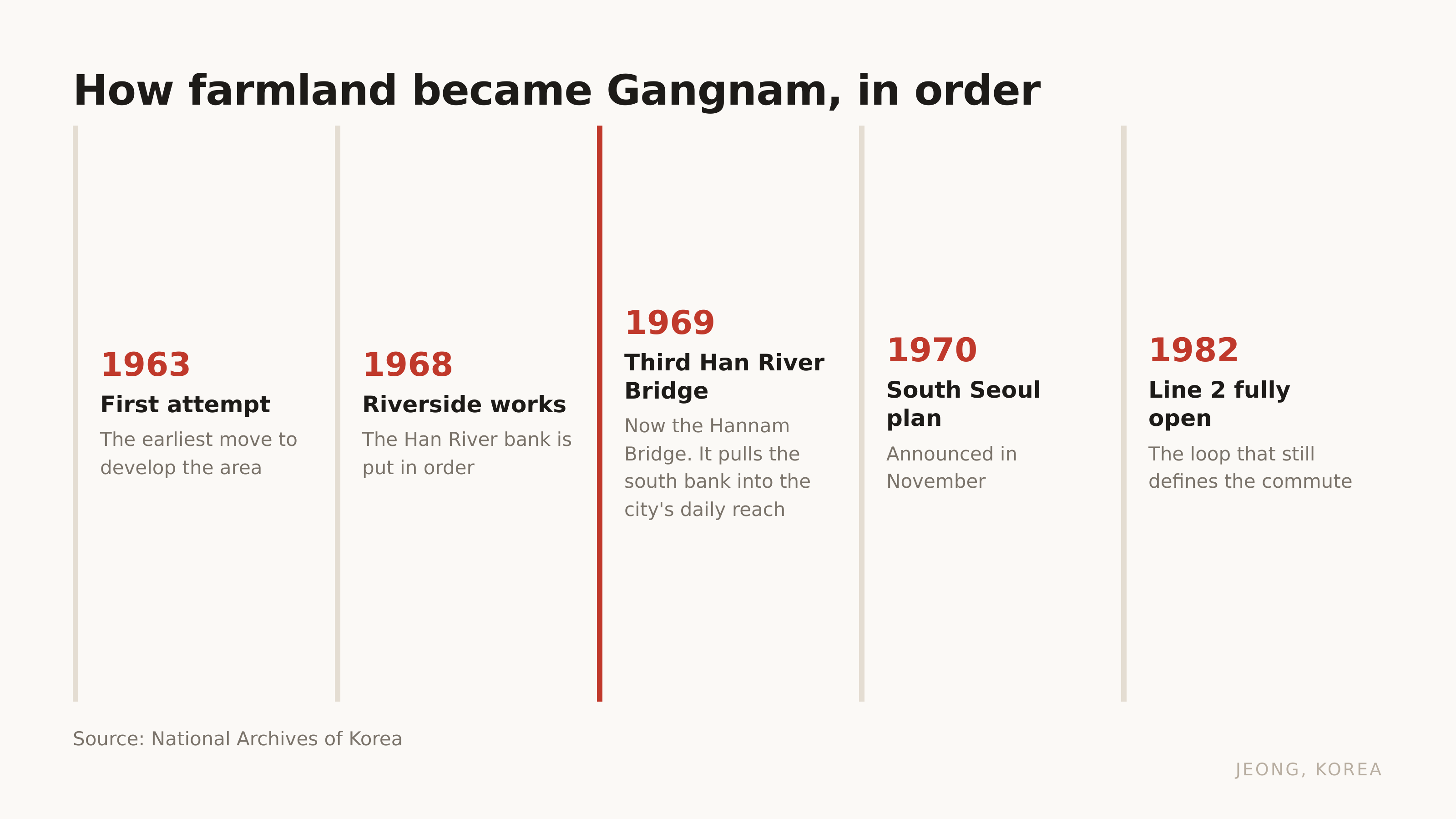
The pieces then arrived in order. The first attempt at developing the area came in 1963. Riverside works began in 1968. The Third Han River Bridge, now the Hannam Bridge, was finished in 1969 and pulled the south bank into the city's daily reach. The South Seoul development plan was announced in November 1970. Line 2 was fully open by 1982.
And the moment the land stopped being cheap?
The land boom had a nickname before it had a district
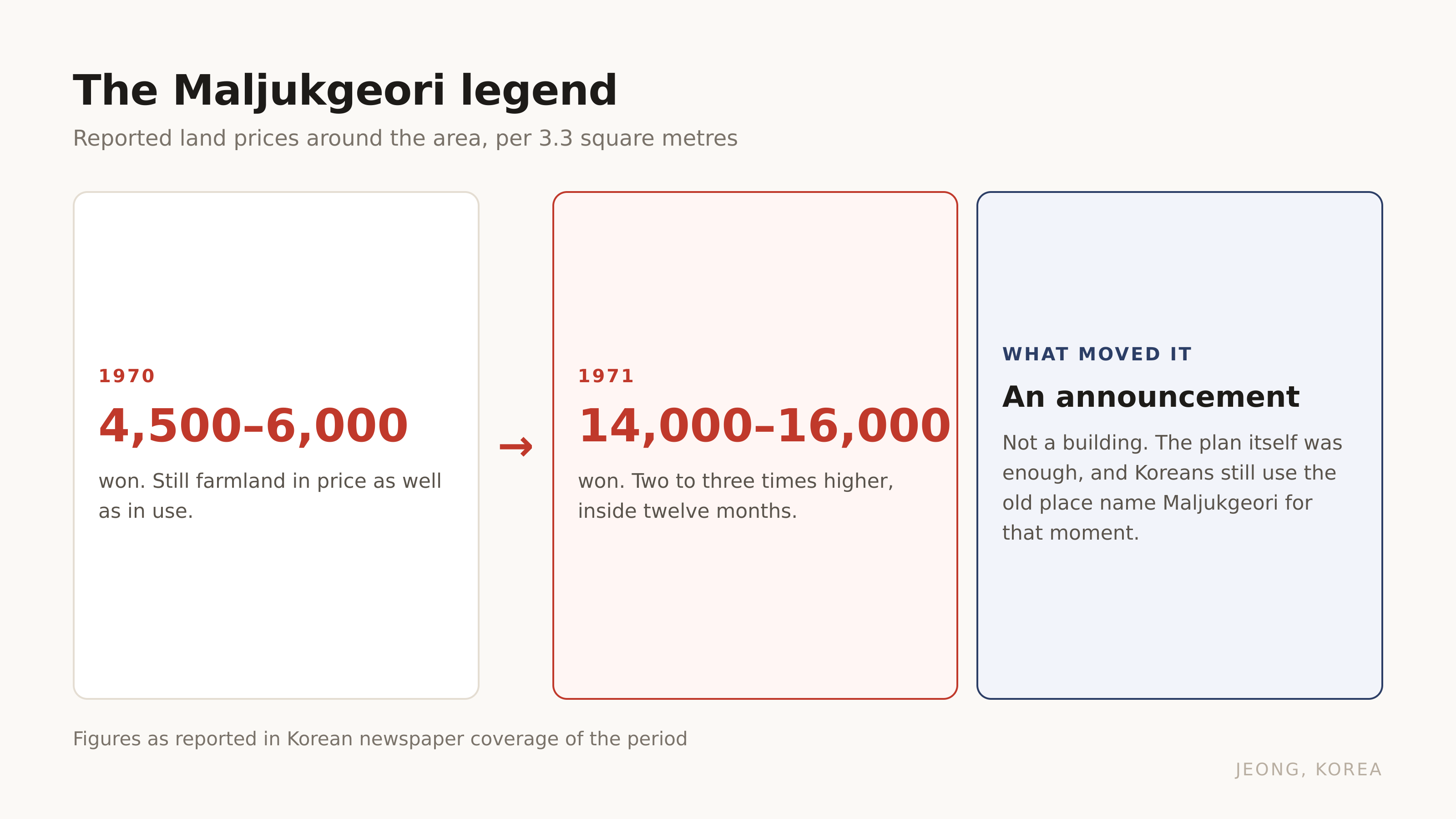
Around Yangjae there is an old place name, Maljukgeori. The land speculation that hit this area in the early 1970s got attached to it, and Koreans still say the Maljukgeori legend to mean the moment the fields stopped being farmland in price as well as in use.
Contemporary newspaper reporting on that period puts land at somewhere between 4,500 and 6,000 won per 3.3 square metres in 1970, and between 14,000 and 16,000 won a year later. Two to three times, inside twelve months, on the back of an announcement.
Everything people now associate with the name grew in that soil. The apartment blocks, the school district reputation, the clinics, the price of a coffee. None of it is old. A Korean in their sixties can remember the fields.
Which leaves the practical question.
Three places wear the name, and they are not the same trip
This is what actually matters if you have an afternoon.
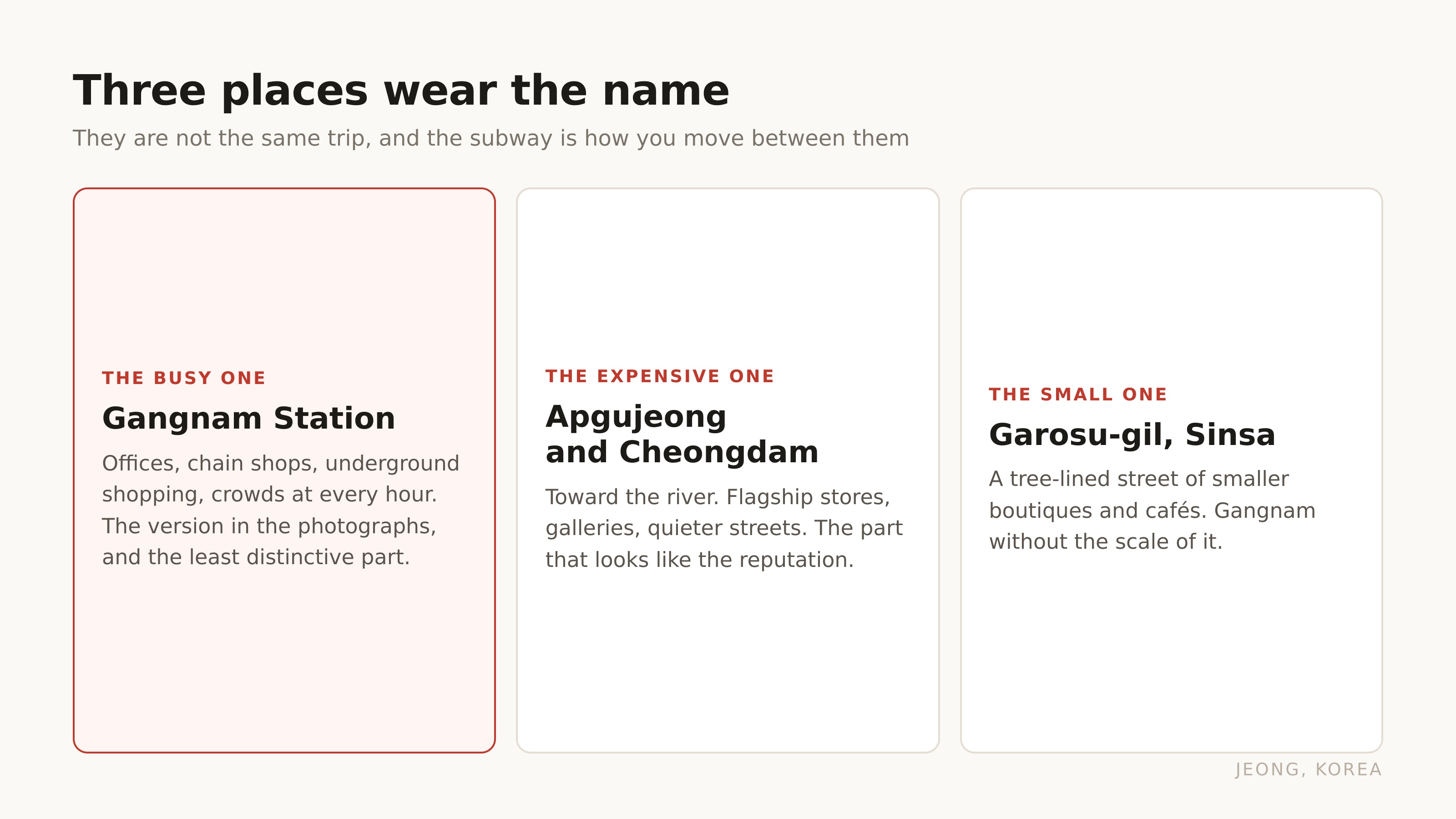
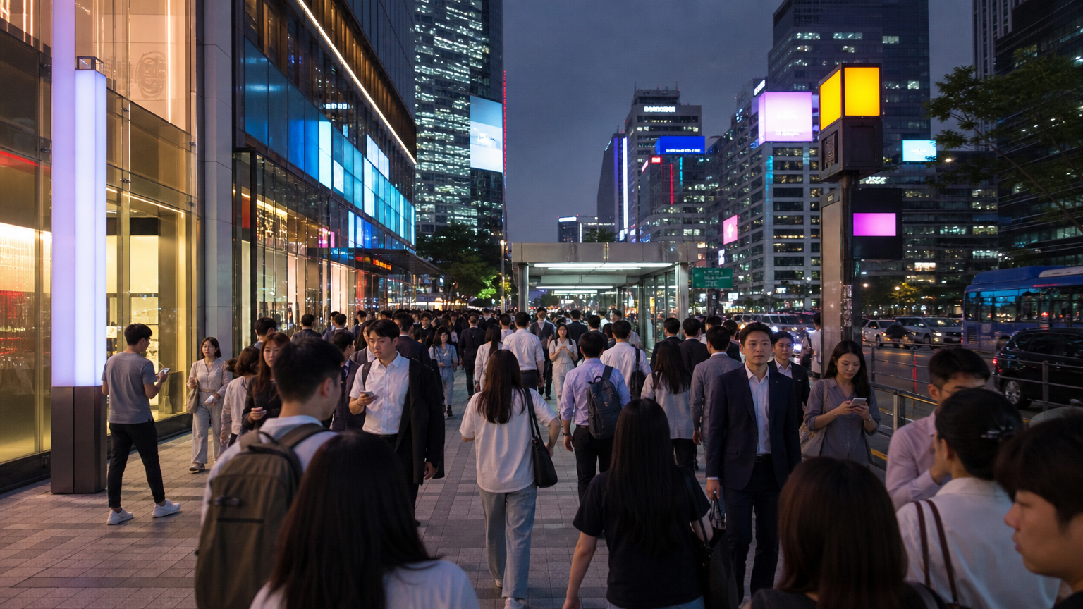
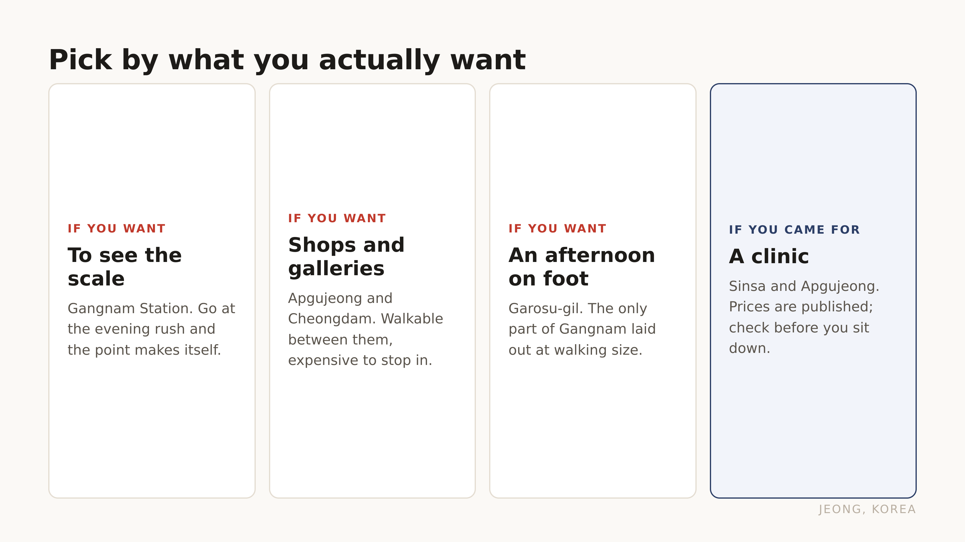
Gangnam Station is the busy one. Offices, chain shops, underground shopping, a crowd at every hour. It is the version in the photographs and it is the least distinctive part.
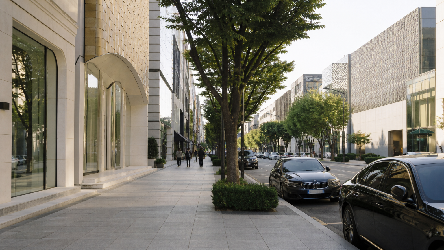
Apgujeong and Cheongdam are north-east of it, toward the river. Flagship stores, galleries, the expensive end. Quieter streets, higher prices, and the part that looks like the reputation.
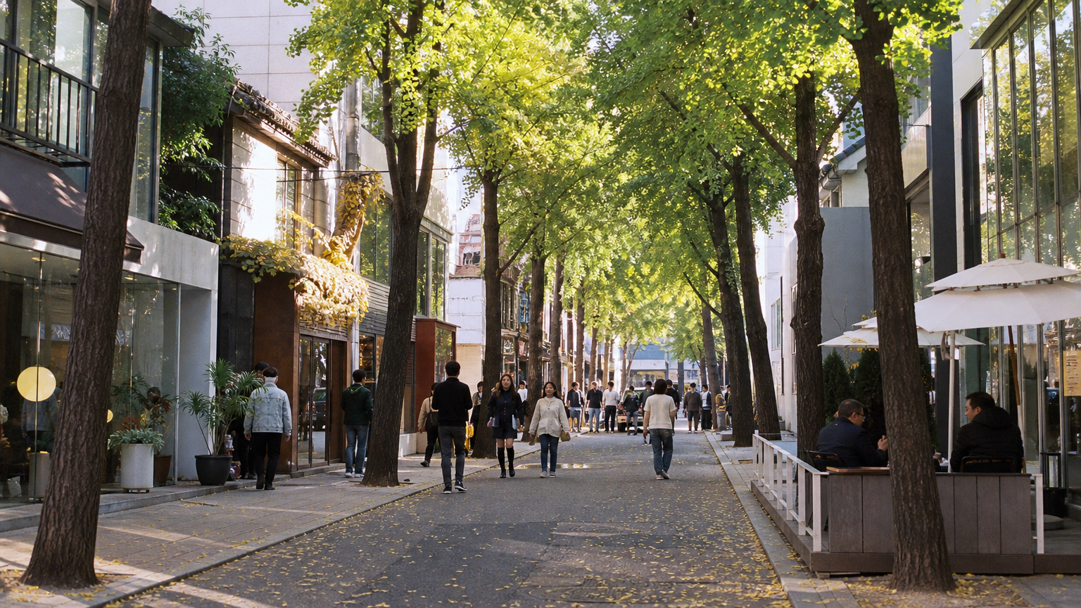
Garosu-gil, in Sinsa, is a tree-lined street of smaller boutiques and cafés. It is where people go when they want the name without the scale of it.
One more thing that brings people here specifically. The clinic streets around Sinsa and Apgujeong are a genuine reason visitors book flights, and the prices are not as opaque as they look. What Gangnam dermatology prices actually depend on, and how to check before you go works through how to read them.
Getting around all three is a subway job rather than a walking one, because the blocks here were laid out for cars. What a T-money card is and how to use it covers the only thing you need in your hand.
FAQ
Is Gangnam a city or a district?
Neither, exactly. Gangnam-gu is an administrative district of Seoul, but people usually use the word loosely to mean Gangnam-gu, Seocho-gu and parts of Songpa-gu together.
Which district is Gangnam Station in?
Both. Gangnam-daero is the boundary between Gangnam-gu and Seocho-gu, and the station's commercial area is split roughly half and half across it.
What was the area before it was developed?
Farmland. Rice paddies and orchards on a flood-prone stretch of the Han River's south bank. Serious development began in the 1960s and 1970s.
Where should I go as a visitor?
Depends what you want. Gangnam Station for the busy commercial centre, Apgujeong and Cheongdam for flagship stores and galleries, Garosu-gil in Sinsa for smaller boutiques and cafés.
One sentence is enough
Gangnam is a direction rather than a district, its main station is split between two of them, and the plan that built it was named after the industrial area on the opposite bank.
Next in this series, the one street in Seoul where the shop signs had to change to fit the neighbourhood rather than the other way round.
References
-
National Archives of Korea — Gangnam development — the plan called Yeongdong meaning east of Yeongdeungpo, the farmland and orchards that preceded it, and the timeline from 1963 to 1988
-
Gangnam-daero as the Gangnam-gu and Seocho-gu boundary — the 1988 separation used the road as the district line, splitting the Gangnam Station area between the two
-
Korean newspaper reporting on the early 1970s Maljukgeori land boom — the 4,500 to 6,000 won and 14,000 to 16,000 won per 3.3m² figures quoted above