The Jeju Olle Trail: 27 Routes, and Why the Number Does Not Tell You Anything

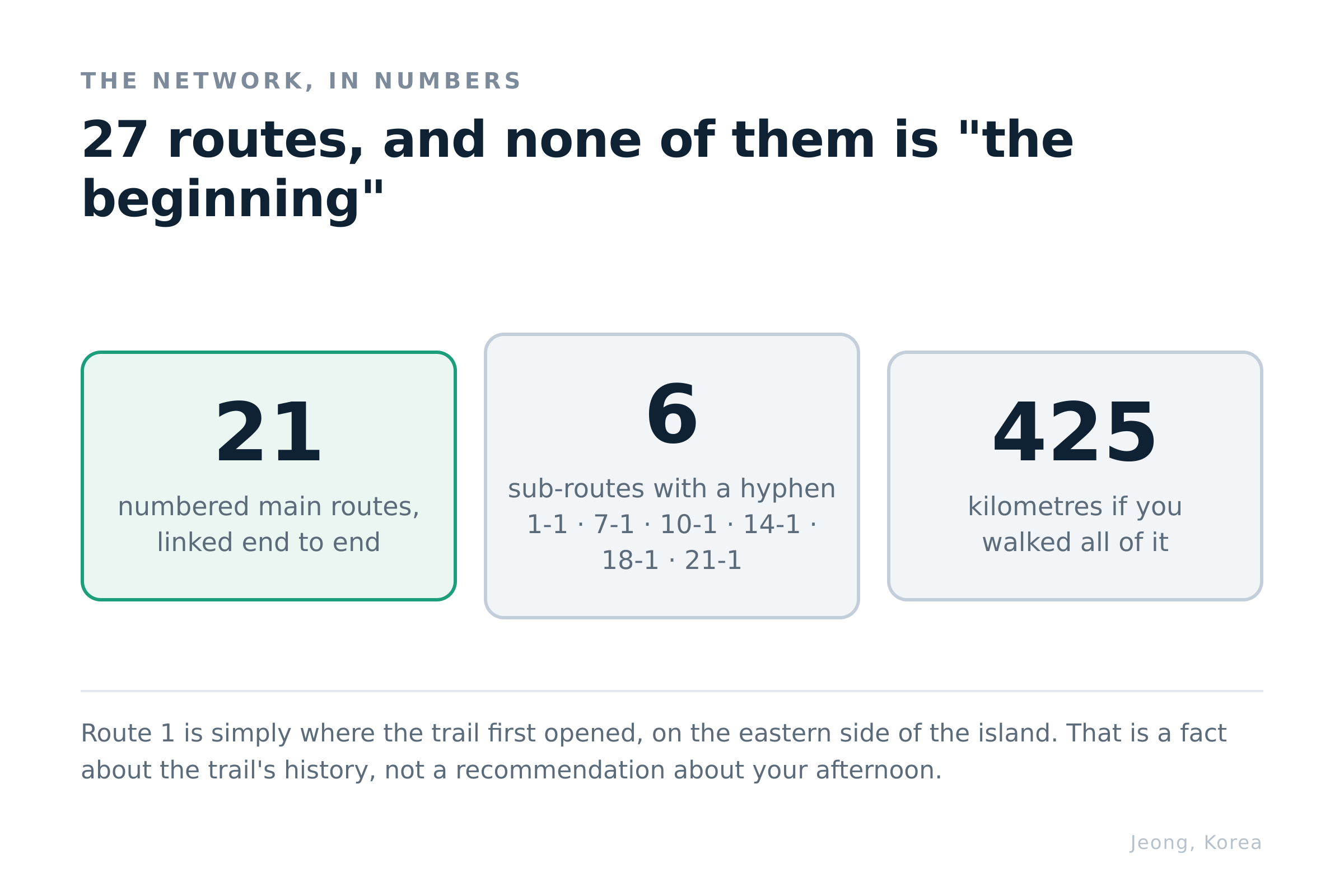
There are 27 Olle routes. Together they run about 425 kilometres. You have one day. The number on the sign will not help you choose.
The Jeju Olle Trail is a network of coastal walking routes that circles the island, and the hardest part of walking it is not the walking — it is picking a route out of a list where every entry looks equally plausible. This guide covers how the numbering actually works, the two routes that make sense for a first day, and the practical things nobody mentions: the ribbons, the stamps, and what to do with your suitcase.
Most people meet the trail as a wall of numbers. Route 1, Route 7, Route 10, Route 18, plus sub-routes with hyphens in them. Faced with that, the natural move is to assume lower numbers are the beginning and therefore the place to start.
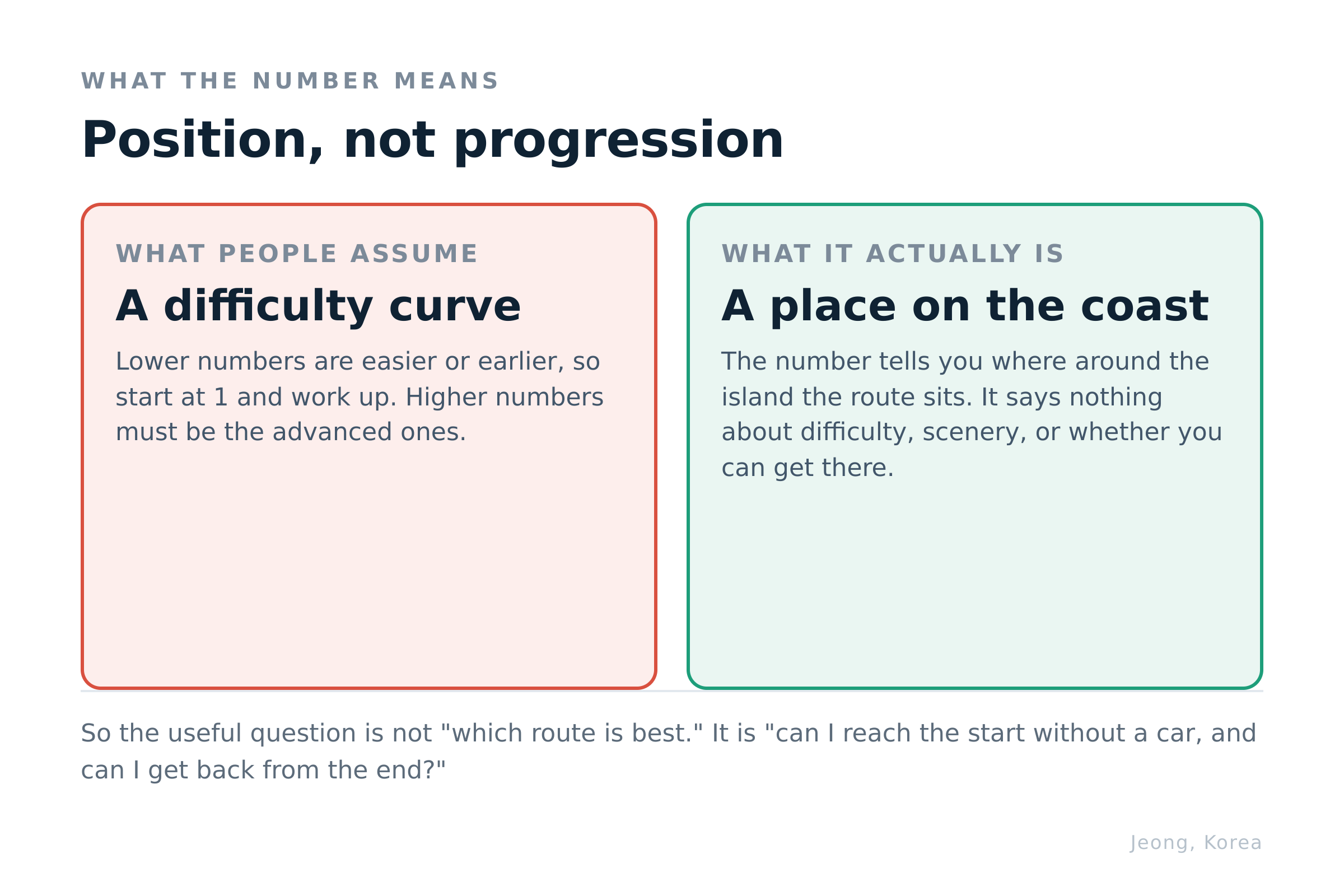
They are not. The numbers describe position around the coastline, not difficulty, not scenery, and not suitability for someone with an afternoon free. Route 1 is where the trail was first opened, on the eastern side of the island. That is a historical fact about the trail, not a recommendation about your Tuesday.
How the numbering actually works
Position, not progression.
The network is 27 routes in total: 21 numbered main routes that link end-to-end around the island, plus six sub-routes marked with a hyphen — 1-1, 7-1, 10-1, 14-1, 18-1, 21-1 — which branch off to islands or inland sections. Walk all of them and you have covered roughly 425 kilometres.
Two consequences follow, and both matter more than the number itself.
Each route ends where the next one starts. That is what makes it a connected trail rather than 27 separate walks. It also means routes are designed at full length — most run somewhere in the mid-teens of kilometres — because they were built to chain, not to be sampled.
A route is a line, not a loop. You finish somewhere other than where you parked. On an island where the bus network is real but not dense, that single fact decides more first-day walks than scenery does.
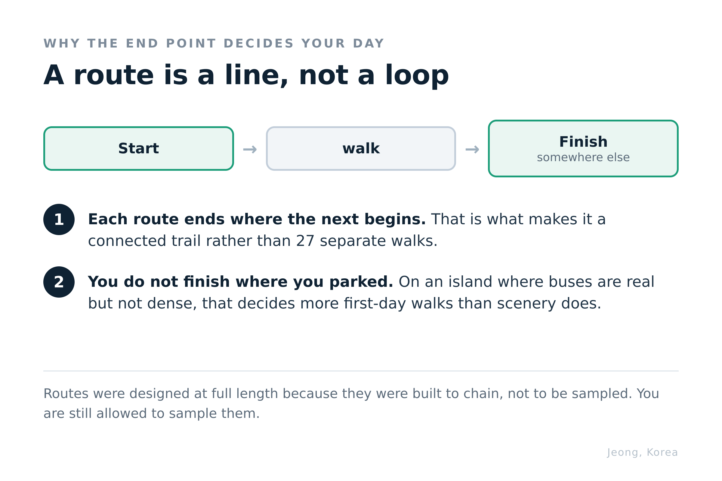
So the question to ask is not "which route is best." It is: can I get to the start without a car, and can I get back from the end?
Which narrows 27 down to about two.
Two routes that work for a first day
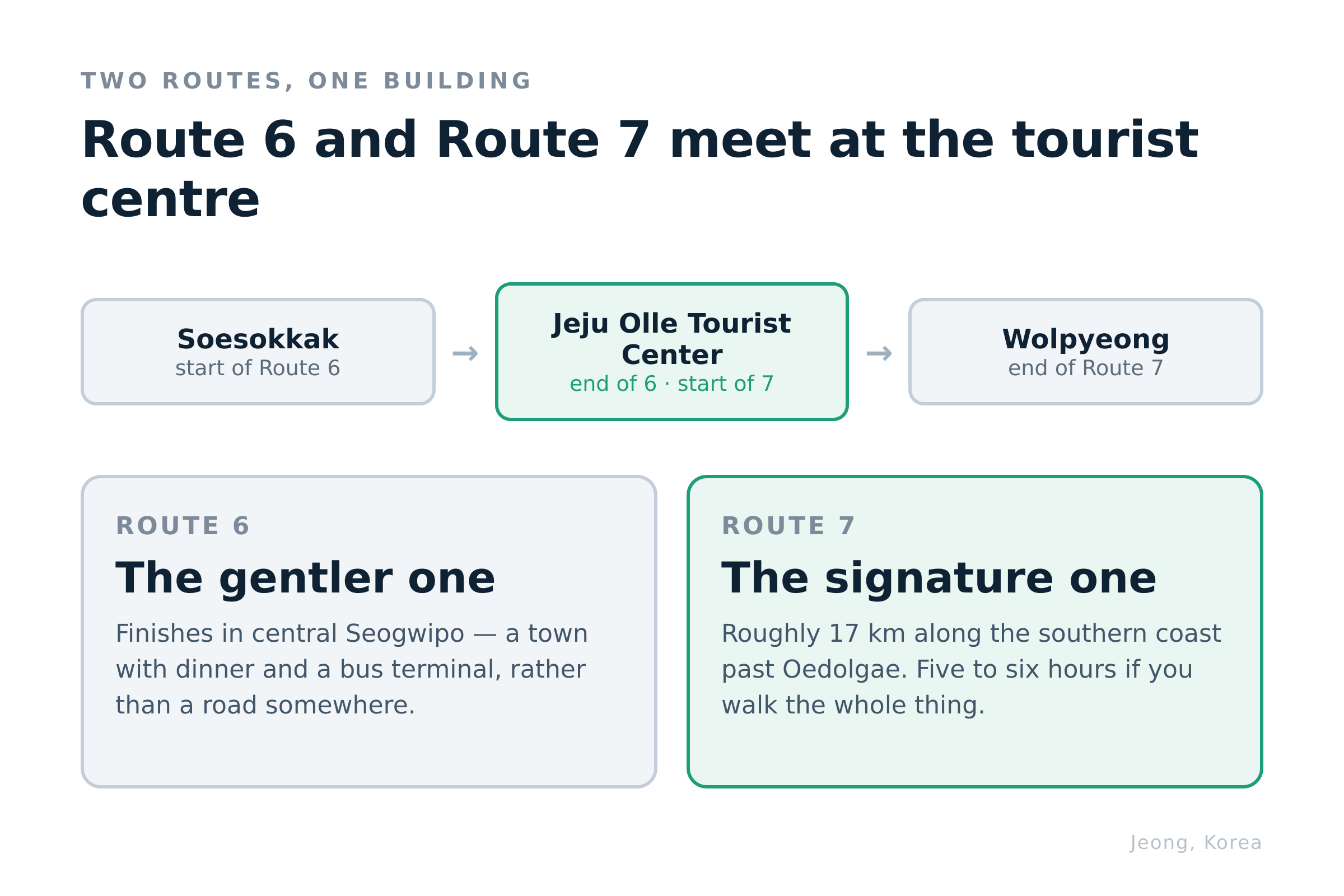
Both sit on the Seogwipo coast, and they meet at the same building.
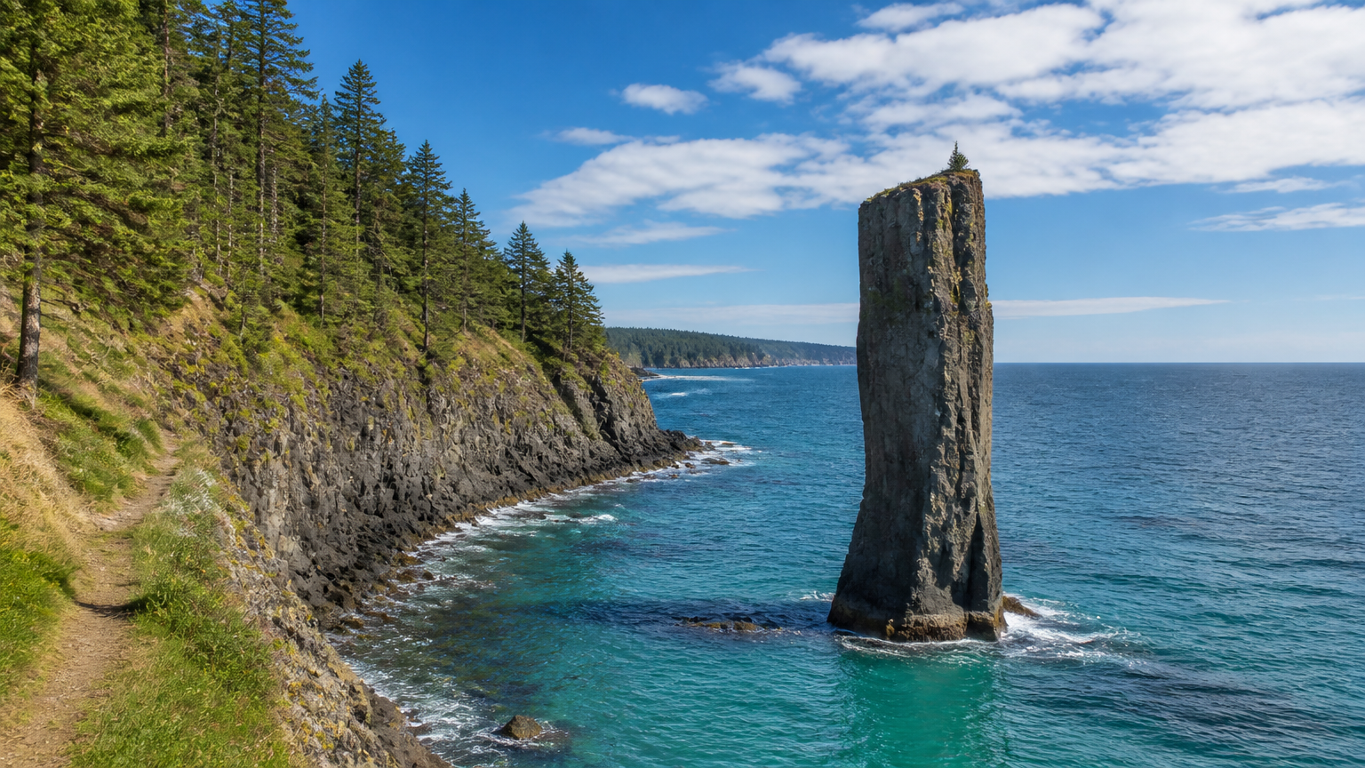
Route 7 runs from the Jeju Olle Tourist Center along the southern coastline, past Oedolgae — a solitary basalt sea stack standing offshore — and on toward Wolpyeong. It is the signature route, roughly 17 kilometres, and most people take five to six hours over it. Sources differ slightly on the exact length, which tells you something about how precisely you need to plan it. 🗺 Jeju Olle Tourist Center — start of Route 7 🗺 Oedolgae
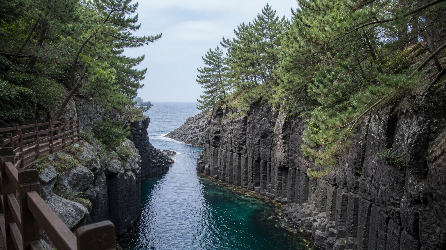
Route 6 comes into that same tourist centre from the other direction, starting at Soesokkak — a short gorge where fresh water meets the sea between basalt walls. It is the gentler of the two and it ends in central Seogwipo, which is the practical advantage: you finish in a town with dinner and a bus terminal rather than on a road somewhere. 🗺 Soesokkak — start of Route 6
The reason to name these two rather than a prettier pair further out is transport. They begin and end at places buses actually go, and they share an endpoint, so you can walk one direction, eat, and get back without solving a logistics problem in a language you do not read.
You do not have to finish either of them. Walking half of Route 7 to Oedolgae and turning back is a perfectly ordinary thing to do, and nobody at the trail is counting. The full-length design is for people chaining routes over weeks — it is not a rule you have agreed to by stepping on.
If you would rather climb than walk sideways, that is a different day and a different subject — the mountain has its own rules, and I have written about hiking in Seoul for the same instinct on the mainland.
So how do you follow it once you are on it?
Following the trail without a map
Look for ribbons, and look low.
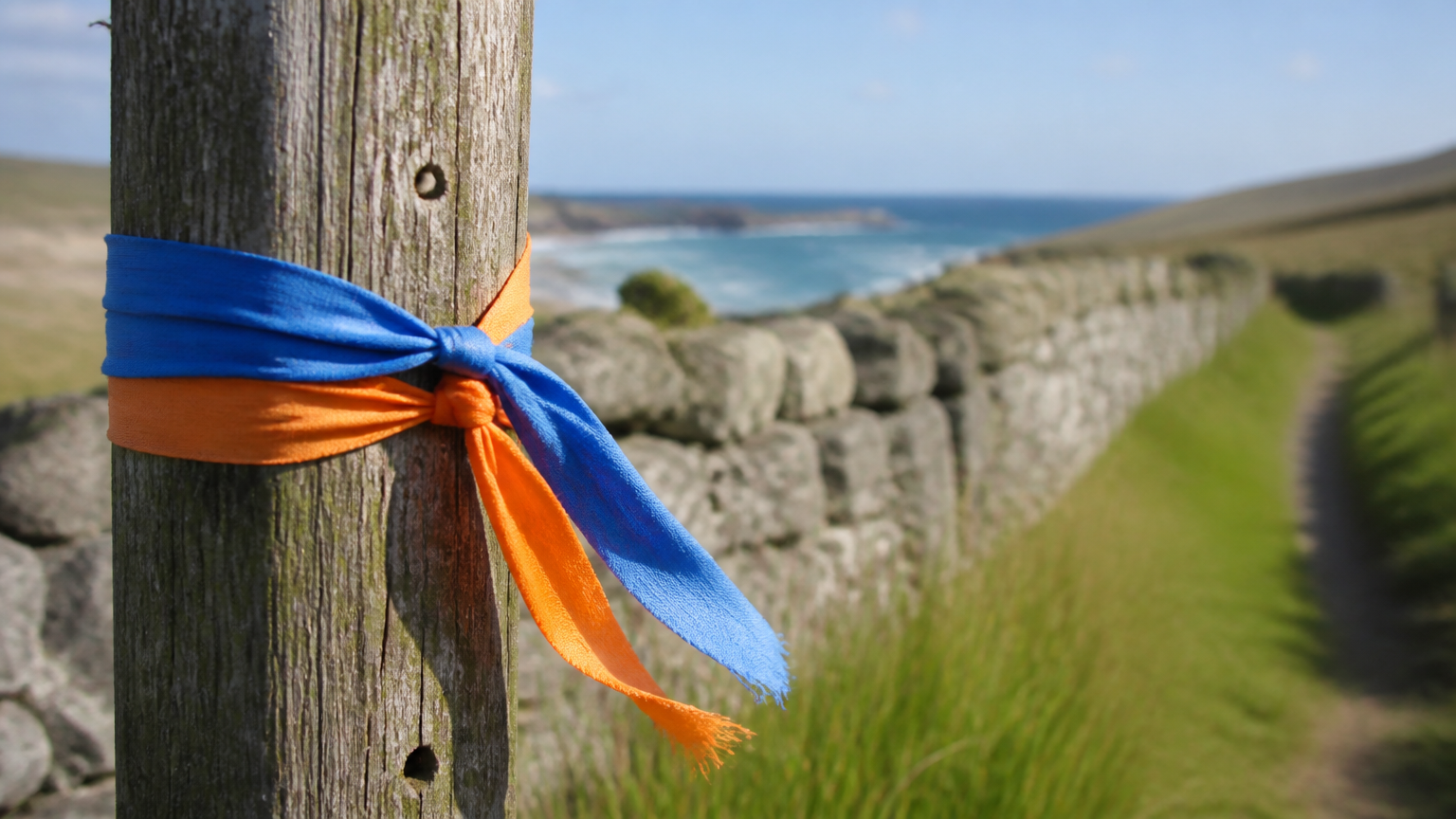
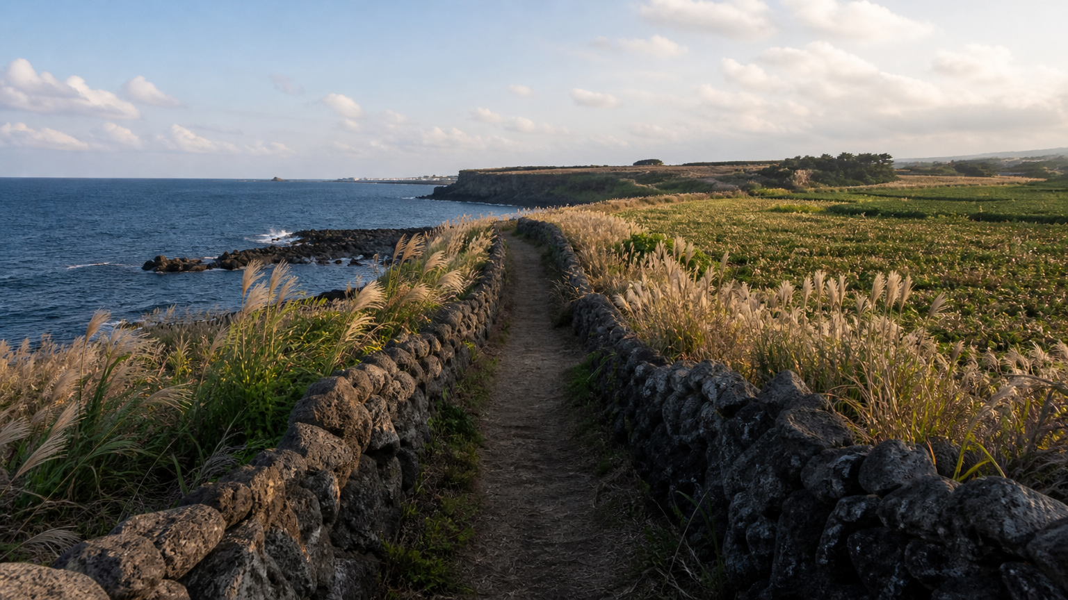
The Jeju Olle Trail is waymarked with blue and orange ribbons tied to fences, branches and posts, plus arrows painted on the ground and small wooden horse figures at intervals. Blue and orange run in one direction; reverse the pairing and you are walking the route backwards, which is fine but means signage will feel subtly wrong all day.
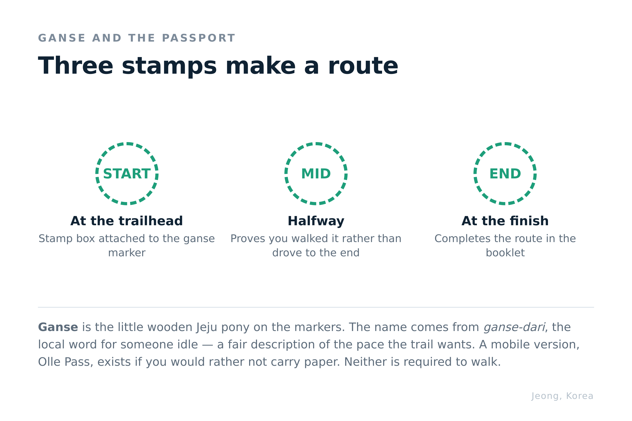
The little horse is called a ganse. It is a Jeju pony, and the name comes from ganse-dari, the local word for someone idle — which is a fair description of the pace the trail wants from you. Ganse markers double as stamp posts.
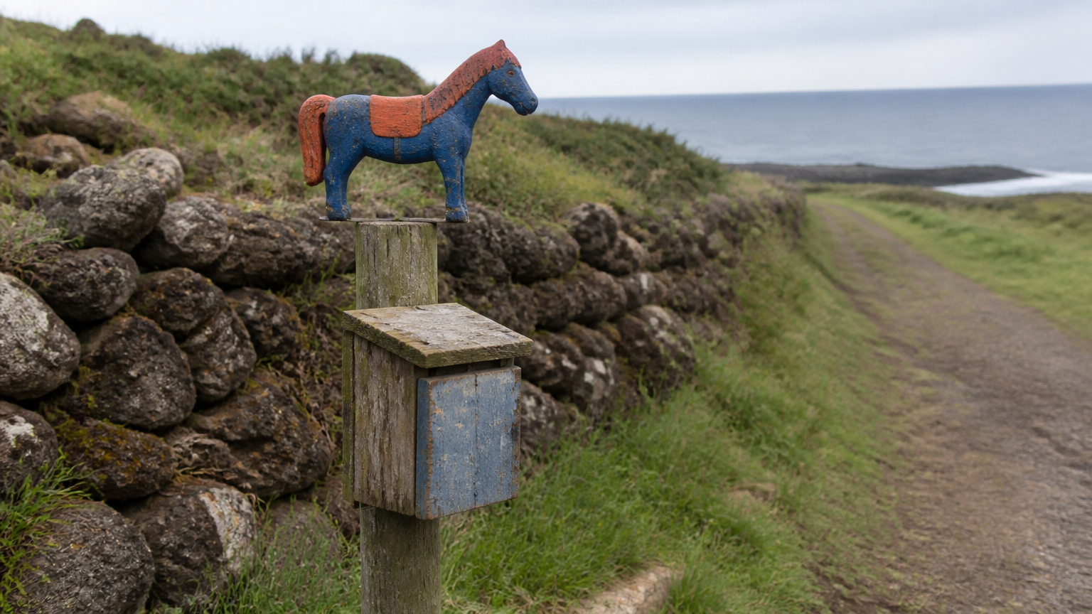
The stamp system works like this. You buy a passport — a small booklet the size of an actual passport — and collect stamps at the start, middle and end of each route from boxes attached to the ganse. Complete a route and the book proves it. There is now a mobile version, the Olle Pass app, if you would rather not carry paper.
The passport is not required to walk. It exists because people who start collecting stamps tend to come back for more routes, which is either a charming tradition or an effective retention mechanism depending on how cynical you are feeling. Either way, buy one if you think you will return.
A few practical notes for the day itself.
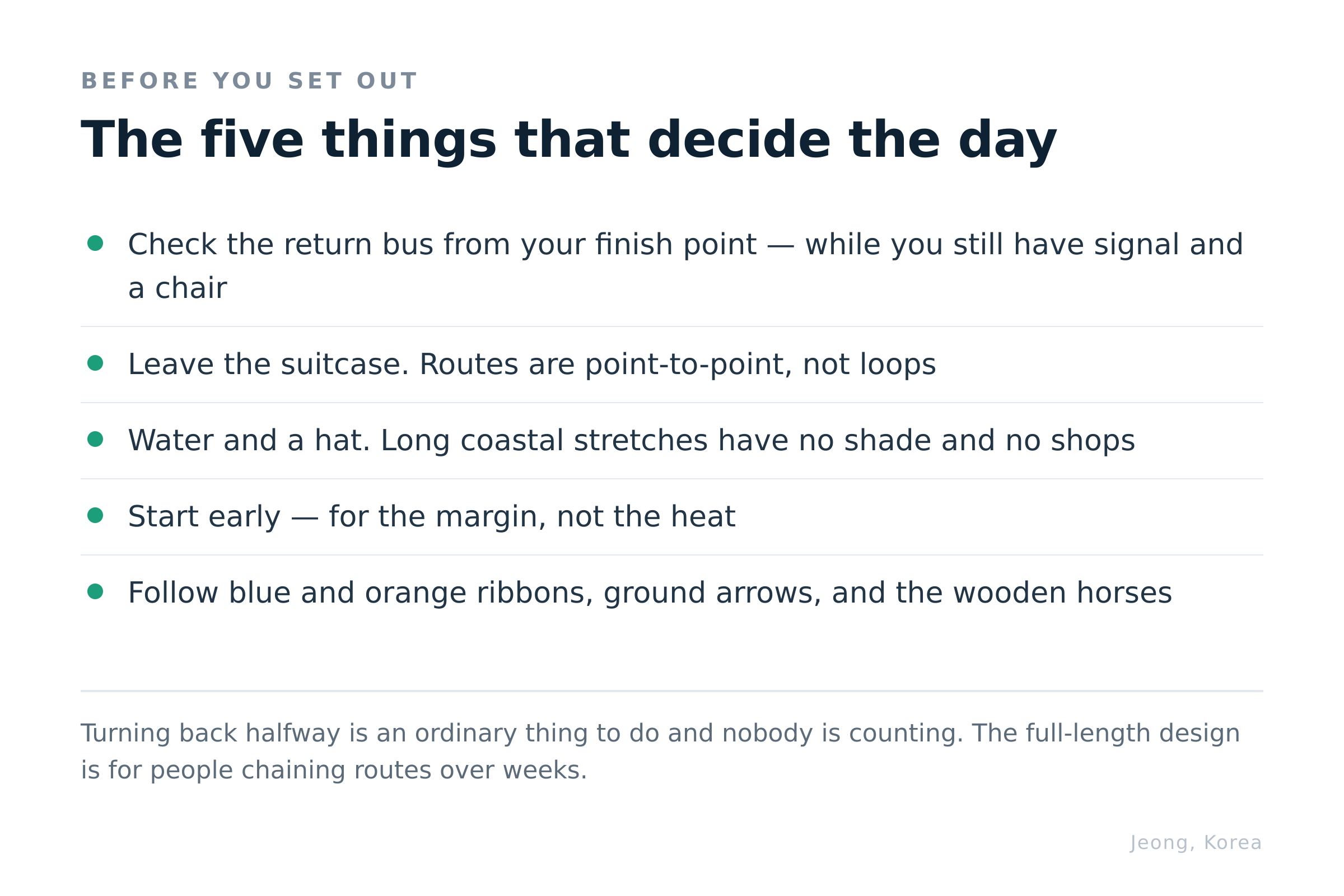
Take water and take a hat. Long stretches are coastal and exposed, with no shade and no shops. This catches people out more than the distance does.
Do not carry your suitcase. Routes are point-to-point, so leave luggage at your accommodation or in a locker rather than walking a coastline with it.
Check the bus before you start, not after. Work out how you are getting back from the end point while you still have signal and a chair. Island bus frequencies are not Seoul frequencies.
Start early. Not for the heat — for the margin. Finishing a coastal path in the dark with a phone at nine percent is the one way this pleasant day turns unpleasant.
FAQ
How many Jeju Olle Trail routes are there?
Twenty-seven in total: 21 numbered main routes that connect around the island, plus six sub-routes marked with a hyphen. Together they cover roughly 425 kilometres.
Which route should I walk if I only have one day?
Route 6 or Route 7 on the Seogwipo coast. They share an endpoint at the Jeju Olle Tourist Center, both are reachable by bus, and Route 6 finishes in central Seogwipo where there is food and transport.
How long does one route take?
Most main routes run into the mid-teens of kilometres and take five to six hours at a walking pace. Route 7 is around 17 kilometres. You are not obliged to finish one.
Do I need to walk the routes in order?
No. The numbers describe position around the coast, not a sequence or a difficulty curve. Start wherever you can reach.
How do I know I am on the trail?
Follow the blue and orange ribbons tied along the route, painted ground arrows, and the small wooden ganse horses. Consistent colour order tells you that you are going the intended direction.
What is the Jeju Olle passport?
A booklet you stamp at the start, middle and end of each route using boxes at the ganse markers. It records completed routes. An app version, Olle Pass, also exists. Neither is required to walk.
Can I do this without a car?
Yes, if you choose your route for bus access. Routes are point-to-point rather than loops, so check the return bus from your finishing point before you set out.
Pick the one you can get home from
Twenty-seven routes is a number designed for people with weeks. You probably have an afternoon, and for an afternoon the deciding factor is not which stretch of coast photographs best — it is whether a bus goes there and whether one comes back.
Start at the tourist centre in Seogwipo, walk in whichever direction appeals, and turn around when you feel like it. That is not a compromised version of the Jeju Olle Trail. It is what most of the people on it that day are doing.
References
-
Route network, numbering and total distance — Jeju Olle Foundation
-
Passport and ganse stamp system; Olle Pass mobile application — Jeju Olle Foundation
-
Route 7 and Route 6 course details — Jeju Olle Trail
-
Ganse naming from the Jeju dialect term ganse-dari — Jeju Olle Foundation