Hiking in Seoul: The Mountain I Take Foreign Friends To (And Why It Isn't Bukhansan)

Ask anyone here about hiking in Seoul and they'll say Bukhansan. It's the famous one, it's genuinely beautiful, and it will eat your entire day.
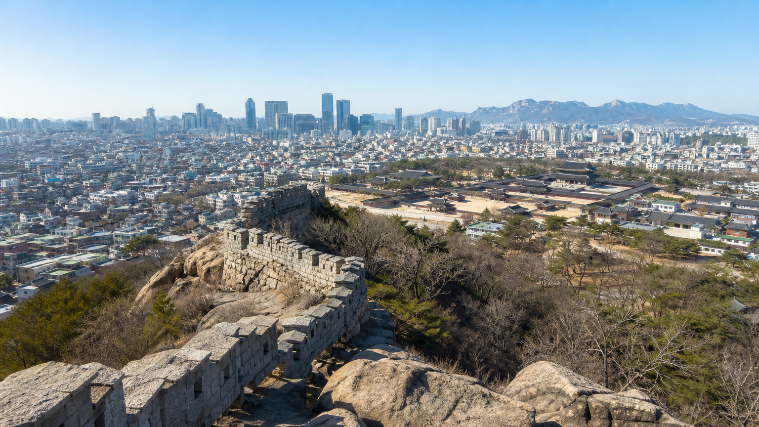
That's the problem. If you have four days in this city, you can't spend one of them on a mountain. So when friends visit, I take them somewhere else — a 339-metre peak in the middle of the city that you can climb before lunch and still have an afternoon left. This is what hiking in Korea looks like when you only have a morning: Inwangsan, the old fortress wall, and a view of the whole city from a rock.
Why not Bukhansan
Bukhansan is a national park on the northern edge of Seoul. Getting there, climbing it, and getting back is a full day, and the popular routes are steep enough that you'll want a shower afterwards.
Inwangsan sits inside the city. You reach the trailhead on the subway, you're at the top in under an hour, and you're back down with your afternoon intact. For a visitor, that difference decides whether the hike happens at all, and it's the whole case for hiking in Seoul on a short trip.
I went up last spring with a Japanese friend who was living here on a work posting. He speaks Korean well, so let me say this plainly: he didn't hit the language problems a first-time visitor would. What follows about signs and apps I checked separately rather than lived through.
What the mountain actually is
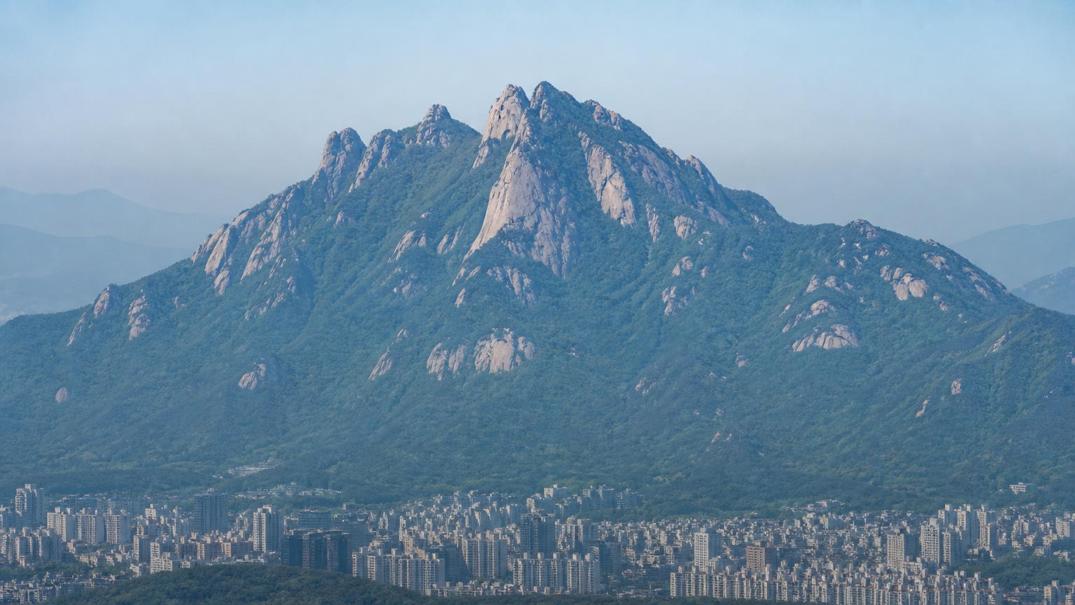
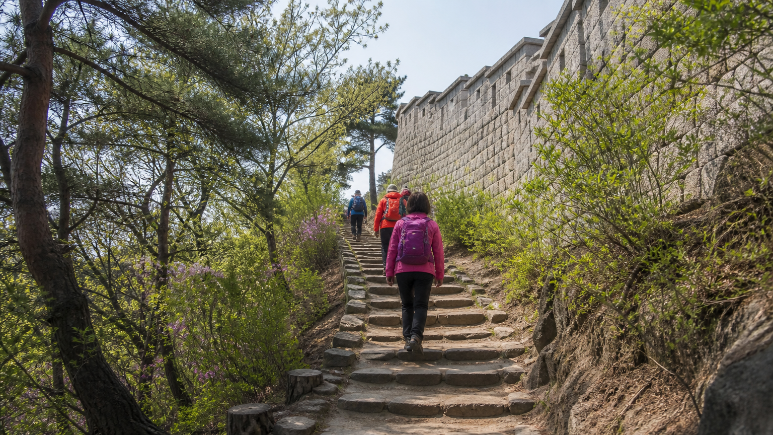
It's a granite peak on the western side of central Seoul, 339 metres high, and the old Seoul City Wall runs right over it. You're not walking a forest path with a view at the end — you're walking alongside a fourteenth-century fortress wall the whole way up, with the city dropping away beside you.
The official Inwangsan section of the wall runs 4.0km from the site of Donuimun Gate to Changuimun Gate and takes about 2 hours 30 minutes if you walk the full stretch. Most people don't. If you just want the summit and back, it's shorter.
Getting to the trailhead
Access is the easy part of hiking in Seoul — the trailheads are subway rides, not expeditions. Three entrances, depending on which line you're on.
| Entrance | Subway | Walk to trailhead |
|---|---|---|
| Sajik Park | Gyeongbokgung Stn, Exit 1 (Line 3) | Connects almost directly |
| Dongnimmun | Dongnimmun Stn, Exit 1 or 2 (Line 3) | About 22 minutes, 904m |
| Seodaemun | Seodaemun Stn, Exit 4 (Line 5) | Short walk |
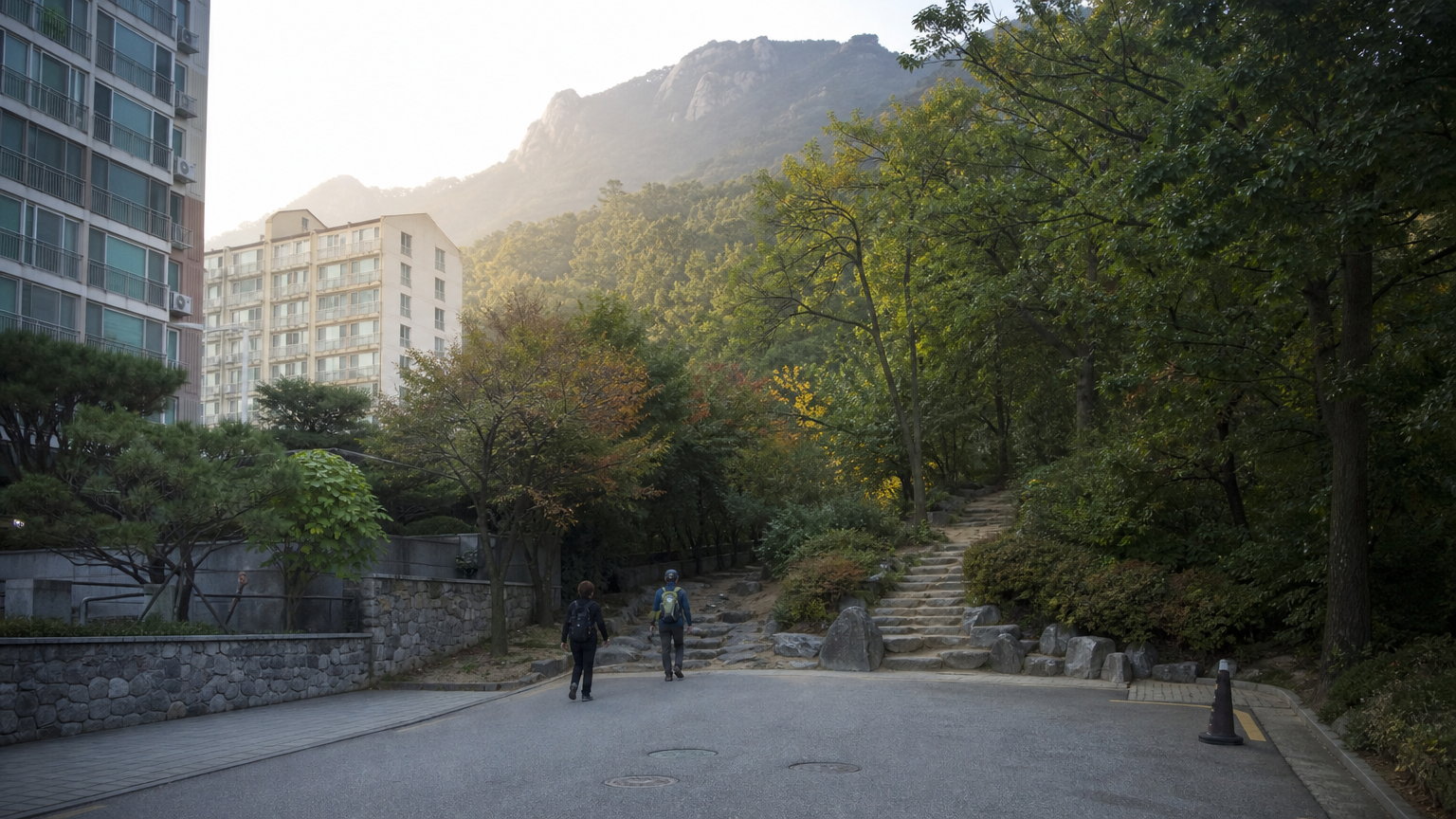
Sajik Park is the one I use. You come out of Gyeongbokgung Station, walk toward the park, and the trail entrance is right there — no hunting for a hidden path behind a residential block.
How long, and how hard
To the summit and back down, allow 1 hour 30 minutes to 2 hours. The climb itself is under an hour for most people.
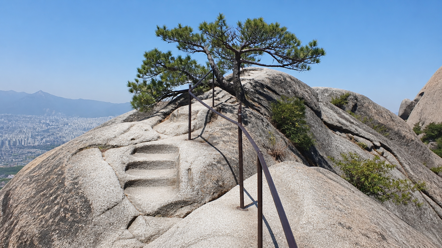
The path is stairs and paved sections most of the way, maintained and clearly marked. You do not need hiking boots. Trainers are fine in dry weather — this is a city mountain, not a wilderness trail.
One honest caveat: the upper section is bare granite. In winter, or after rain, that rock gets slippery in a way the staircases don't warn you about. If it's wet, take the handrails seriously.
The practical things nobody mentions
Hiking in Korea comes with a few local conditions that don't appear in guidebooks, and this mountain has four worth knowing.
It's open 24 hours. No ticket, no reservation, no ID check. This surprises people who've read about Bugaksan, the neighbouring peak, which historically had tighter access rules.
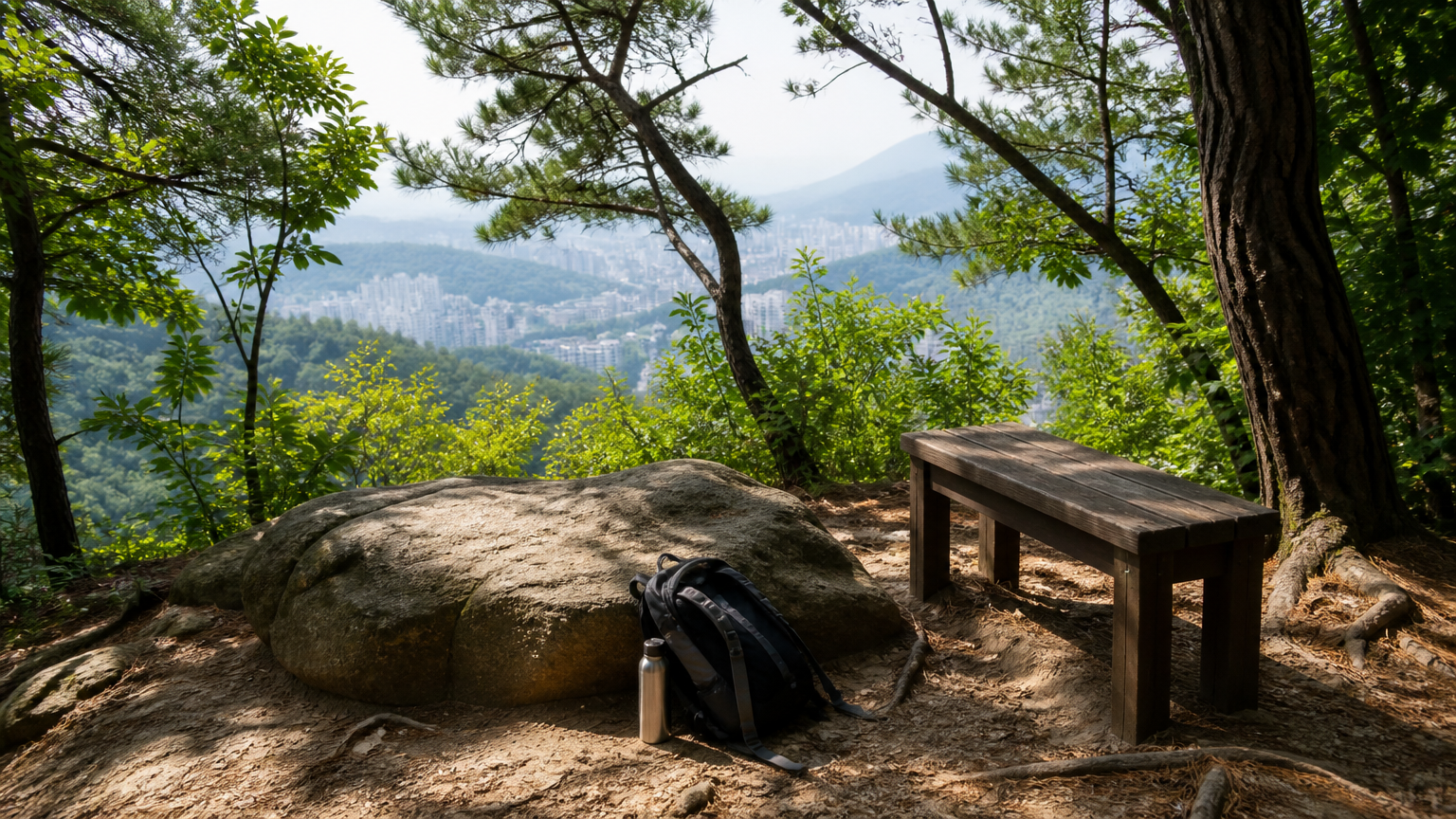
There are no toilets on the mountain. The official city wall guidance says this outright, and it's the single most useful line on this page. Go before you start — at the subway station or in Sajik Park.
Bring water. There's nothing to buy up there.
One section is closed permanently. The curved stretch of fortress wall known as the gokseong is still in use as a military facility and civilians can't enter. It's fenced and signposted; you won't wander into it by accident, but don't plan a route through it.
Signs and maps
The trail signs are in Korean and English, so you can navigate to the summit on the signage alone.
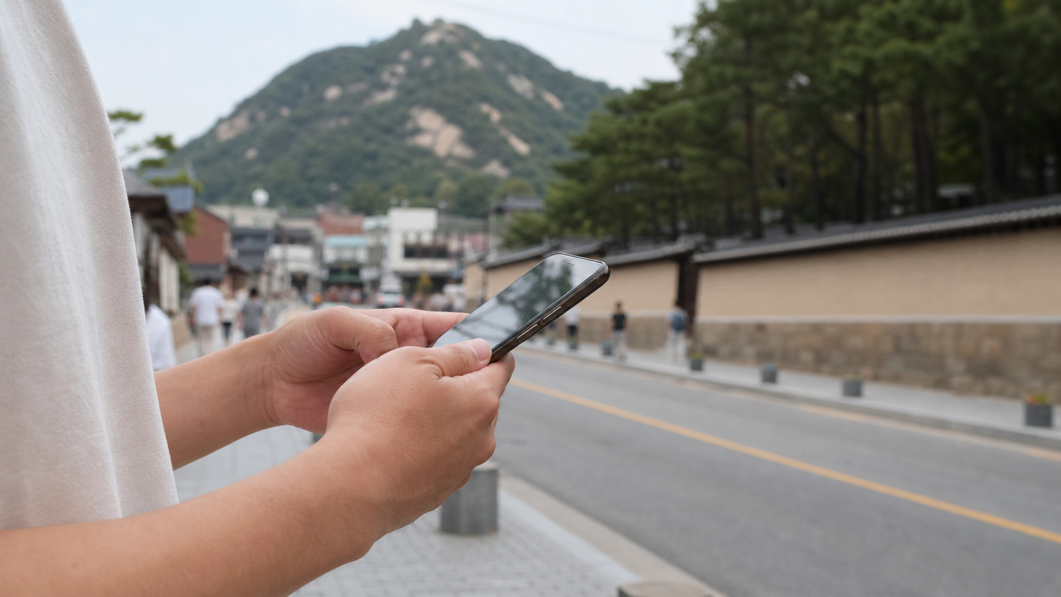
Getting to the trailhead is where people struggle, and it isn't the mountain's fault — it's that Google Maps doesn't do walking directions properly in this country. Use Naver Map or KakaoMap instead. This catches out almost every visitor in their first week, and it applies to hiking in Korea as much as to finding a restaurant.
What you see from the top
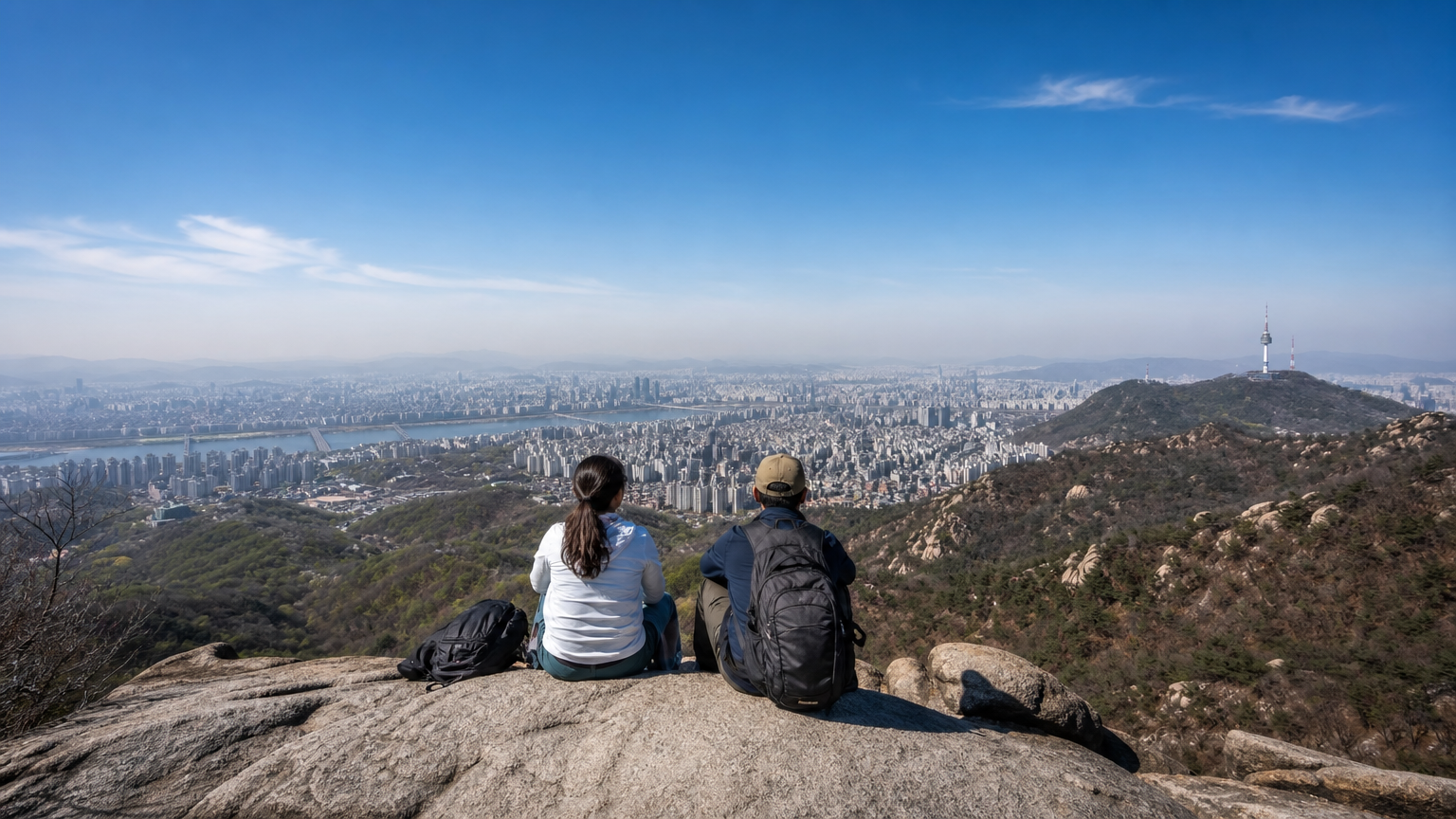
On a clear day you can see most of central Seoul from the summit rock — the palace grounds below, the business towers beyond them, and Namsan Tower off to the south.
The day I went up was clear. That's worth saying, because spring here is a gamble: fine dust season runs through those months, and on a bad day the view is a grey wall. If you're here in spring and you get a genuinely clear morning, move your plans around and go that day. There's no rescheduling a view.
Coming down, and what to eat
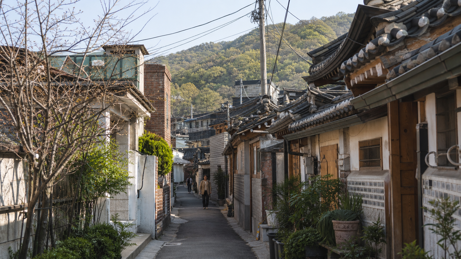
The Sajik Park side puts you back out in Seochon, the neighbourhood west of the palace, and this is half the reason I take people up this particular mountain.
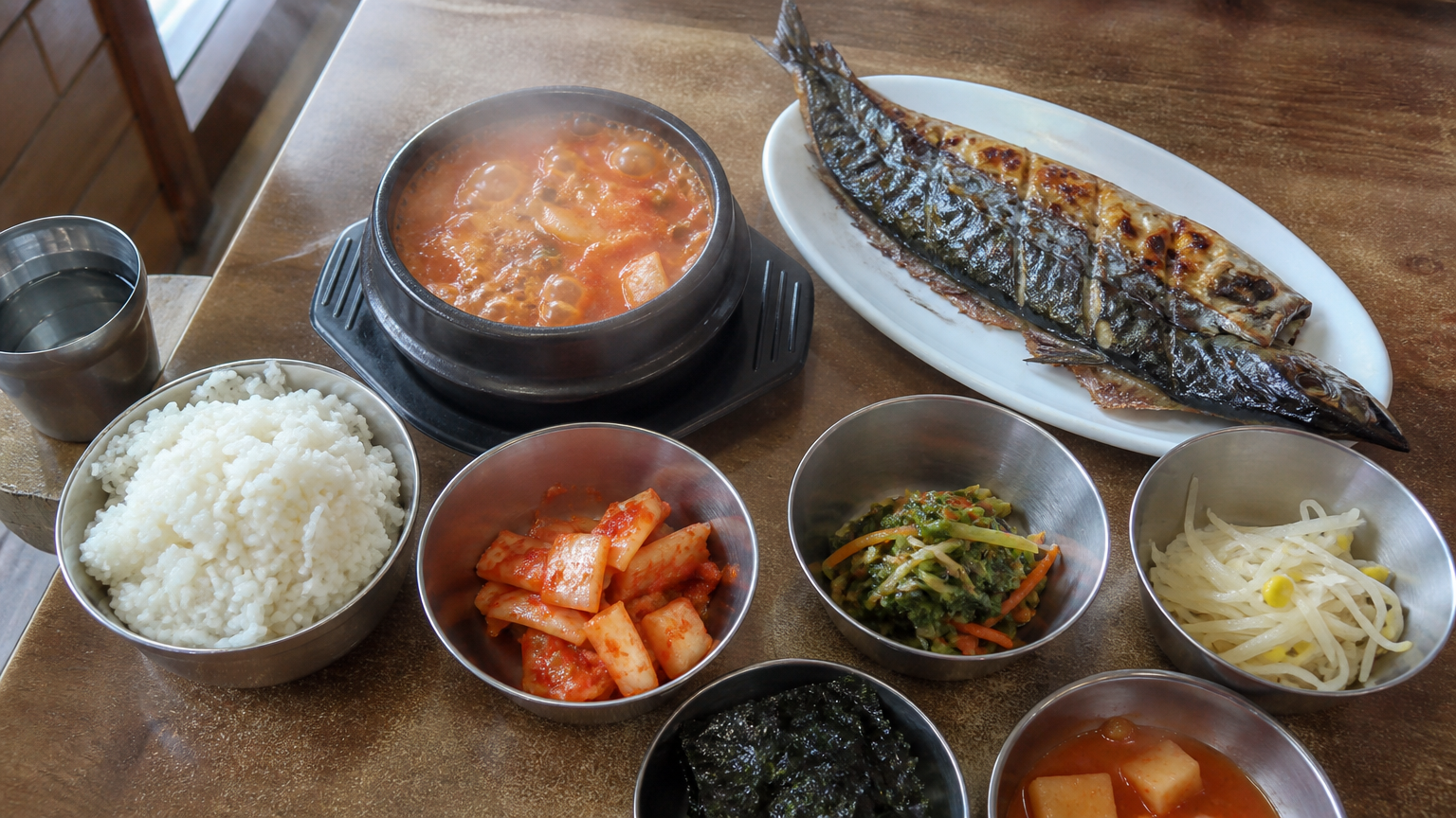
We came down and ate at a small Korean place there — grilled mackerel and kimchi jjigae, the ordinary lunch two Koreans would eat on an ordinary weekday. Not a hiking restaurant, not a tourist restaurant. Grilled mackerel never makes the "must-try Korean food" lists and is on half the lunch tables in this country.
That's the shape of the morning I'd recommend: up the wall, down into Seochon, sit down, eat something plain and hot.
FAQ
Is hiking in Seoul possible without any equipment?
Yes, on this mountain. Trainers and water are enough in dry weather. Save the boots for Bukhansan or Seoraksan.
Do I need a permit or ID to climb Inwangsan?
No. The trail is open 24 hours with no reservation and no ID check. You may have read otherwise — that guidance belongs to Bugaksan, the neighbouring peak, not this one.
Is hiking in Korea popular with locals?
Very. It's one of the most common weekend activities here, especially among older Koreans, and the trails are busiest on Saturday and Sunday mornings. If you want the summit rock to yourself, go on a weekday.
How fit do I need to be?
Reasonably fit, but not more. It's stairs, and it's under an hour up. If you can manage a long staircase without stopping every flight, you'll be fine.
When is the best time of day?
Early morning for clear air, or late afternoon if you want the light. The trail is open through the night, but I wouldn't do the granite section in the dark on a first visit.
One last thing
Bukhansan is the better mountain. I'm not going to pretend otherwise. But hiking in Korea isn't really about finding the best peak — it's about the fact that this city has mountains inside it at all, close enough that you can be on a fortress wall an hour after breakfast and back at a lunch table by one. That's the part my friends remember.